<– Wed. July 30th Oroville to Colville | North Washington Trip

This map only shows our route from Colville to Priest River, but we drove home late Thursday night.
I stayed up late Wednesday night completing emails and posts, so we stayed in bed until 10AM at Benny’s Colville Inn motel in downtown Colville. The motel was a solid 1 1/2 stars. We had a king bed with slightly uneven box springs. The bottom sheet wasn’t fitted, so it moved easily underneath us. But, the room was quiet, cool, and comparatively cheap. The lobby was unusual, part taxidermy showcase and part firearms museum. The staff was friendly, especially an older female gardner who began to talk to us and wouldn’t stop. I finally had to close the room door, albeit graciously, while she talked until she couldn’t see us anymore. She was a little off . . .
The other oddity we encountered involved the water. When we took our showers, we had the MOST difficult time washing the soap off of us. Either they softened the water too much or there was something else in the water, but neither of us could recall such a difficult time removing soap. Since we’d brought the soap from home, we knew it had to be something in the water (we finally had to use towels to feel clean of the soap).

At 11AM we pulled out of the motel, the temperature already in the low 80s. It was going to be hot again. We drove up to Kettle Falls, then turned to drive north toward Canada. Our first stop was at the Roosevelt Reservoir, a large body of water fed by the Columbia River, which winds through much of Washington State until it flows by our home in Pasco a couple miles away. One of the neat aspects of the Roosevelt Reservoir area is that the shorelines remain free of houses, giving the area a remote, peaceful feeling.

Roosevelt Reservoir behind us.
Back on Hwy 25, we stopped at every campground to evaluate them for future camping. Our favorite place was a small no-reservation campground called North Gorge. This campsite would have been perfect had we brought the motorhome. There were no other sites adjacent to it.

We resumed our trek north, passed through Northpoint and eventually turned east just before the border crossing on Deep Lake Road. From a high vantage point we could see the Columbia flow into the U.S.

The border crossing was just below us and the to the right. Where Canada ended and the U.S. began was a mystery to me.
We followed Deep Lake Road around and south until we went by the lake, which, to our surprise, was packed with houses and people. We continued south, then turned toward the mountains. Feeling all by ourselves once more, we stopped for a couple of photos.

Ann’s photo

Ann works hard to get the photo shown above. That’s not an easy position for her given her knees, but she’s too stubborn not to get the photo she wants.

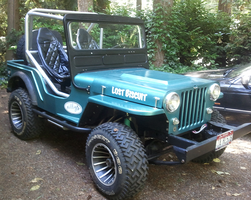
A long dirt road … Henry needs a bath!
After our photos, we found Smackout Creek Road just a mile away and took that east over a tall pass. Despite it’s dicey appearance on the map, the gravel road was smooth and quiet. The only sign of civilization was a National Forest test area.
 The high mountain meadows were comparatively cool versus the valley temperatures. They were a nice relief from our heat wave.
Near the pass that Smackout Creek climbs over was this set of power lines. We didn’t know it, but we would find the source of these.

Eventually, Smackout Creek Road took us down the valley into the town of Ione. We decided to go north so we could catch Sullivan Lake Road east into Idaho. We turned right onto Hwy 31 and headed north. Along the way we stopped in at the Box Canyon Dam’s visitor center. There we learned of Boundary Dam, located at the U.S. – Canada border. A brochure claimed there was an observation platform that provided an amazing view of the dam. That was enough for us, so resumed our trek north.
When we passed through the town of Metaline, we made the mistake of turning left on to Boundary Road. As we learned the hard way after driving ten miles, the western road along the river takes you to the Boundary Dam (if a tour of the dam is desired). However, we wanted to visit the observation tower. To reach the tower required going north on Hwy 31. So, learn from our mistake and make sure you choose your route wisely.
Another tip. We discovered the entrance to the observation tower is poorly marked. So, when heading north, look for Crescent Lake and then East Side Road. That’s the sign you are at the right place. Drive to the end of East Side Road and you’ll be at the unmanned visitor’s center. When we arrived we found ourselves all alone. So, we had the run of the place. Inside the observation building we found a great video that described the building of the dam. One interesting fact, Boundary Dam supplies 50% of Seattle’s power.

All alone at the observation building.

Ann watching the video. It was very interesting! The dam’s turbines are housed in an area carved out of rock.

View of the damn from the observation room. One of the unique things not well shown by the photo is how the wires are strung from the base of the rock face where the holes are to the top of the rock and beyond. It kind of looks like an odd stringed instrument.
After listening to the video, we followed a short hiking path to the observation platform. It was hard to get a photo of how the platform sticks out over a sheer rock wall, but trust that it does. Ann doesn’t like heights, so it took some guts on her part to make it all the way to the end for our photo. In the meantime, I experimented a bit.


 If you are ever in the area, we highly recommend stopping at the observation area. Very cool. It also sounds like the Boundary Dam tour is very interesting.
With our time running low, we returned to the jeep and headed back down Hwy 31 until reaching the Sullivan Lake turn off. There, we began a long trek up, up and up over the mountains of Pend Oreille National Forest. Once again, despite the offroad-look of the road from the map, Sullivan Lake Road – NF 22 wasn’t too difficult of a drive. However, we did feel more remote than anywhere else we’d been in Washington, which we loved. About half the 40 mile drive was a single road with turnouts. Fortunately, we only met one vehicle during our drive.

Starting our climb.

Closing in on the top of the pass. NF 22 is closed in the winter and it given how far we climbed it isn’t hard to see why.
After summiting on NF 22, we began a long trek down. During my research of the road I’d spotted a reference to a stand of old cedar trees called the Roosevelt Grove of Ancient Cedar Trees Scenic Area at the Washington, Idaho border. Since we were passing right by the scenic area, we decided to stop and see what was there.


Unfortunately, we didn’t have a lot of time, plus to view the main stand of trees required a hike up a steep path. So, we decided to save that for another time. However, only a short distance away from the parking lot was a beautiful set of falls. They were cool and picturesque, perfect for a hot day!

If you look near the center of the photo you can see me standing on a rock.

Here’s my view from the rock looking toward the main waterfall.

Artsy … we took a lot of photos!

Naturally, had to get a selfie of us.
With the sun setting on our day, we realized it was time to go. We wound south on a gravel road, then hit some pavement, which transformed into Idaho State Highway 57. As we drove south we thought about catching a motel in Sandpoint. However, we’d already reached all the places I’d planned to see on our trip, so we decided it was time to head home, so we are on the way to Pasco as I write this at midnight.
Though a short trip, it was great to see some of what northeast Washington had to offer. I can guarantee we’ll be back soon!
<– Wed. July 30th Oroville to Colville | North Washington Trip
Looks like you’re both having a well deserved fun trip.
And they say travel broadens the mind.
Some wonderful photos! If I’d been on the ball, I am sure you could have run into some huckleberries if you knew what to look for. It is getting close to when they get ripe. We used to go to Idaho in early
August to pick some of those delectable berries.
I keep hearing all this talk of a motorhome……But I don’t recall a post about a purchase? =)
I really need to get out more, looks like beautiful country. The furthest west I’ve ever been is 1600 west Coulter St, Phoenix, AZ! Damn flat lander! Looks like great Trav-L Aire camper country!!!
Mom: We found some huckleberries south of Oroville, but we didn’t stop to pick them. However, someone has been picking them, for Huckleberry shakes were being advertised at many of the local burger joints.
Mitch: I thought I had posted a pic, but maybe I haven’t. Ann’s mother bought a new 28’er recently. Guess I’ll get a post done about it at some point. Now we have some nice digs for pulling either jeep places.
Craig: This trip was a recon trip as much as anything. There are tons of 4WD roads we never explored. I’m hoping to return with Biscuit at some point.
You went through my old stomping grounds. I lived 15 years between Priest Lake and Priest River. Built a couple of log cabins on Priest Lake.