<– Day 1- Wednesday March 9th: Oh, the Inhumanity! | Beginning | Day 3 – Friday March 11th: Dining in an Ely Jail –>

A self on the one-lane, crumbling, salmon dam located just west of Rogerson Service, Idaho.
We began the morning just north of Twin Falls (See day one of our trip here), We didn’t make if far before we realized that we, and by we I mean “I”, had forgotten to pack our Gazetteers (like this), those trusty, detailed maps, ones safely tucked away in my office. Sigh. But hey, who need maps when we have the internet … until that disappeared, too. Then we relied on hope!

Day 2 took us from Twin Falls, Idaho, to Provo, Utah.
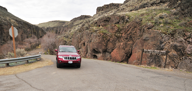
Our first destination on a cool Thursday morning was the county park near Buhl, Idaho, called Balanced Rock. We followed Highway 93 through Twin Falls, then veered south until reaching E 3700 N Road. We took a right and encountered the strangest center line. After much discussion, we concluded it was a disgruntled county employee who’d had enough of life: too many straight lines.

Why the strange centerline? We’d soon find out.
Satisfied at with our arbitrary conclusion, we followed E3700N for what seemed like hours, but was more like twenty minutes. Suddenly, the flat lands gave way to a gulch. To negotiate the gulch, the road began to wind back and forth. Aha! That explained the wavy line at the beginning of the road: it marked the road that led to the park!
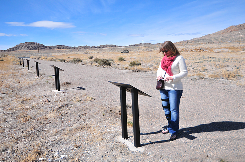
The road into Balanced Rock Canyon Park.
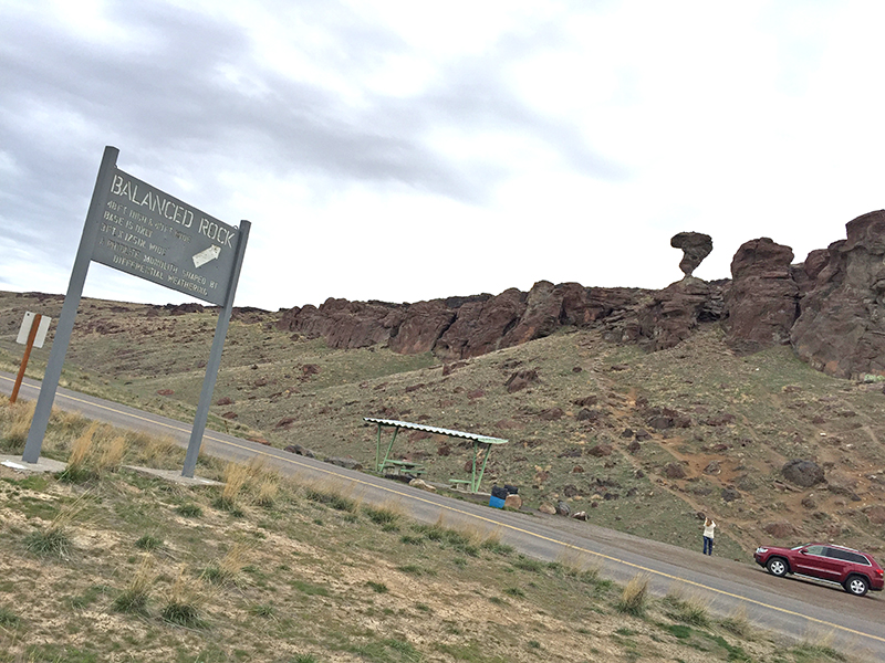
At the bottom of the gulch, a small sign guided visitors to the park.

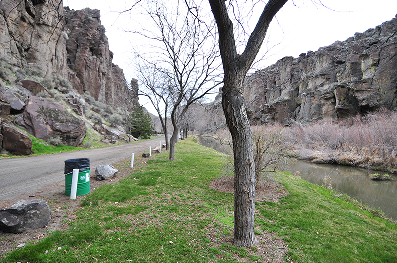
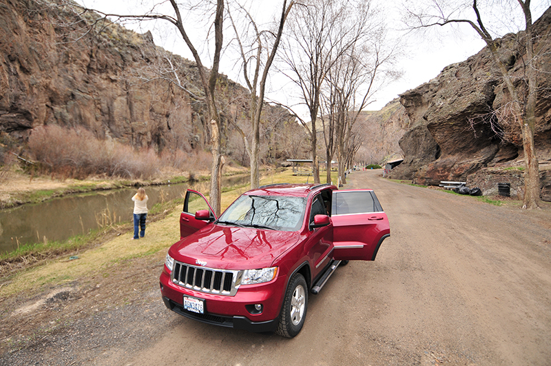
The park’s dirt road extended maybe a half mile. I could imagine that during hot summers the shade provided by the trees would be a cool contrast to the heat of the flat farms lands surrounding this hidden gulch. It was a neat little place.
The park gets its name from a tenuously balanced rock that’s just up the hill from the park.
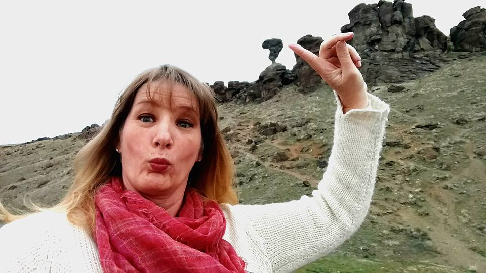
It was cold and windy at the balanced rock. I don’t know how it wasn’t blown over. We tired of the wind and left.
As we drove, I called my mother. As we talked, I turned south out of curiosity, and just kept driving. Perhaps I should have known we were leaving civilization when mom’s call was cut off. But, that didn’t stop me. Of course, usually we have maps. Maybe I should have grown more worried as the pavement disappeared, turning into hard dirt, the kind that becomes goop when it rains. I looked up, but thankfully saw no rain above us.
There was nothing out here.
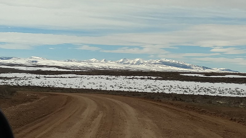
What we did have was cell reception, as it returned, for a short time. But, that soon left as well. Our only hope was that our dirt road was supposed to cross 3 Creek Road, allowing us to turn east toward highway 93.
After spotting no other vehicles for a half hour or so, we finally ran across 3 Creek Road. Even better, it was paved. We felt right back in civilization …. that is until we spotted the old military truck coming at us. It was maybe from the 1950s?? What was most strange was that on the roof of the truck’s cab was a golden retriever, sprawled atop it. The truck must have been going 50 mph or so. How that dog hung on I will never understand, but the fact that there was a back piece that extended from the truck’s flatbed behind the cab and just above the cab must have helped the dog stay in place. We were so shocked by the sight of the dog that we captured no pictures as it passed us. We just stared.
The next thing we encountered was also unexpected, Salmon Falls Creek Dam and Reservoir. The dam provides a one lane bridge to pass across to the other side. The photos really don’t do justice to the crumbled look of it.
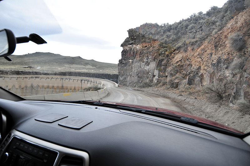
Our approach to the dam.
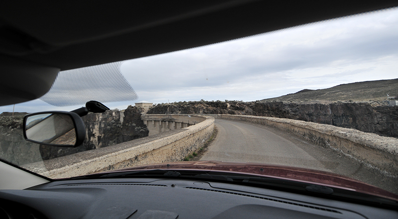
Ann had her eyes closed as she shot this photo. She wasn’t thrilled about crossing it.
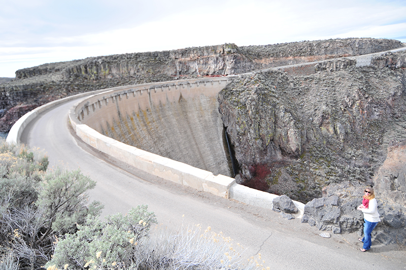
Safely on the other side.
A short time later, we reached Highway 93 again and continued south, crossing over the border at Jackpot, Neveda, where Idahoan’s go to gamble.
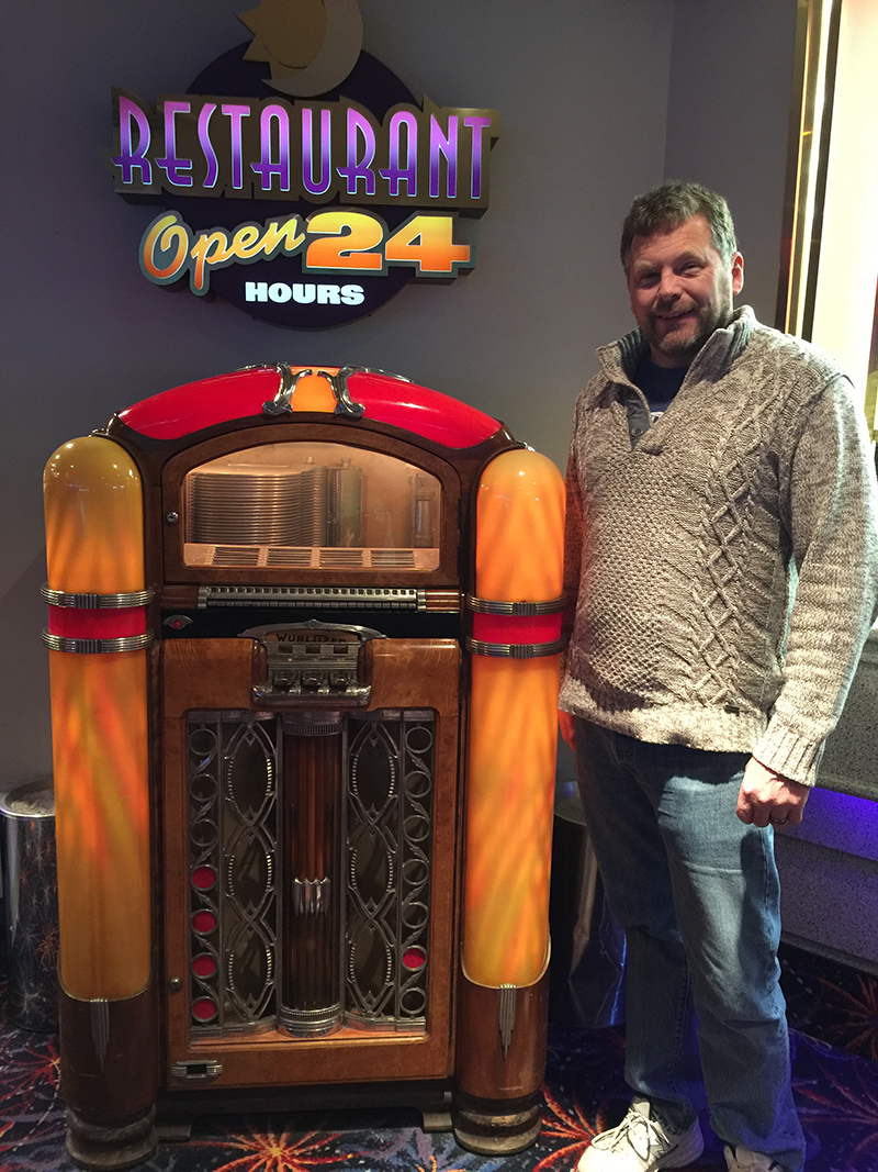
I had to go to the bathroom. On the way, we found this old Wurlitzer juke box. Of course, I had to get my pic with it. If you don’t know why, this link will explain it.
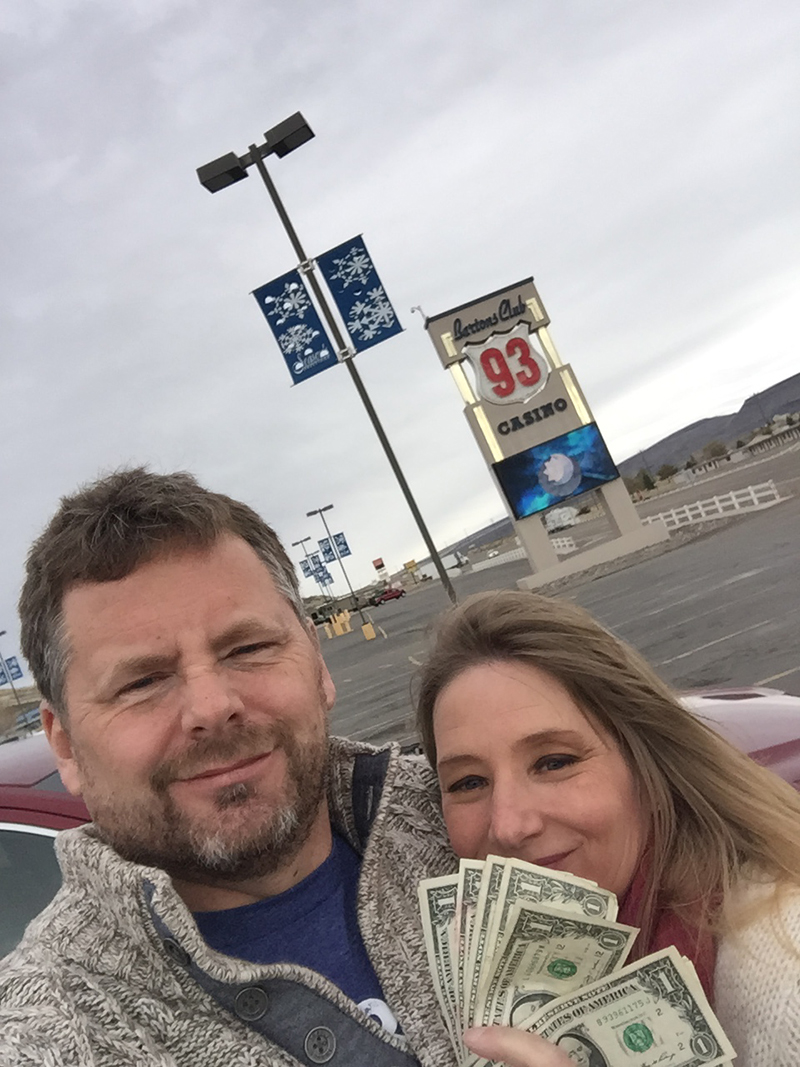
I’d love to say we won all this cash. Instead, I’ll just say that by spending a little time paying some quarter slots, we saved all that cash, lol.
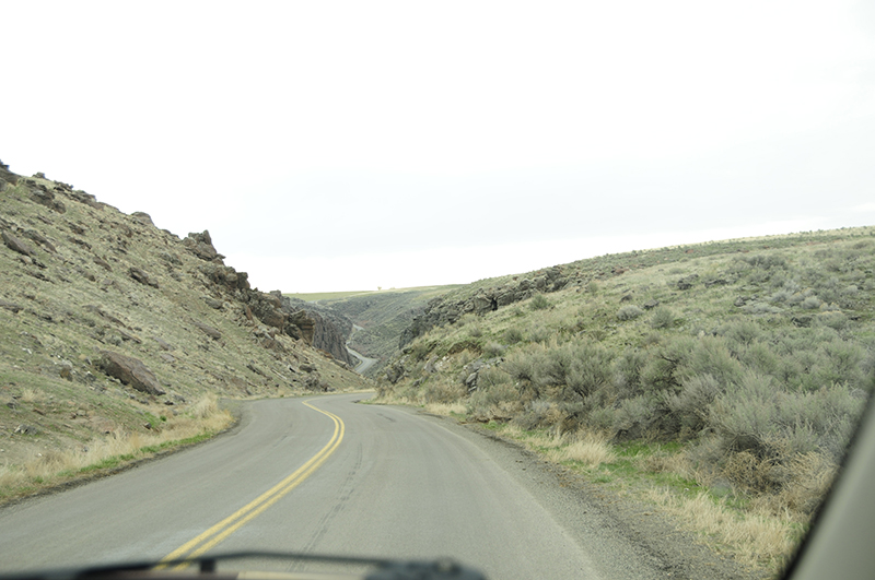
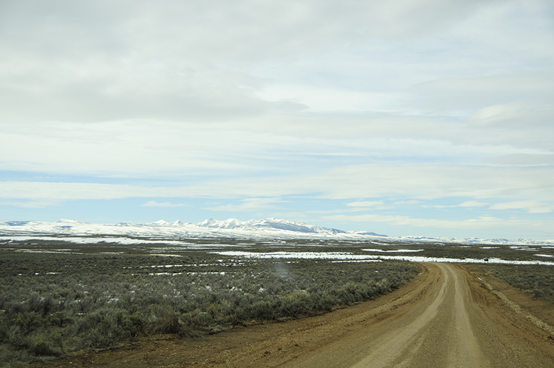
After losing very little in Jackpot, we once again followed 93 south. There’s not a whole lot to look at along the way, just some sagebrush and mountains.
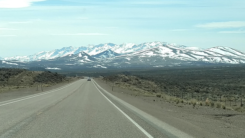
This photo is pretty representative of highway 93. Mountains, dirt, and sagebrush.
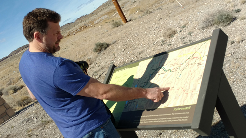
We followed 93 until it intersected with I-80, then headed east on 80 until reaching West Wendover, Nevada. There, we stopped for a photo with a ninety-foot cowboy. We also read about the Victory Highway markers.
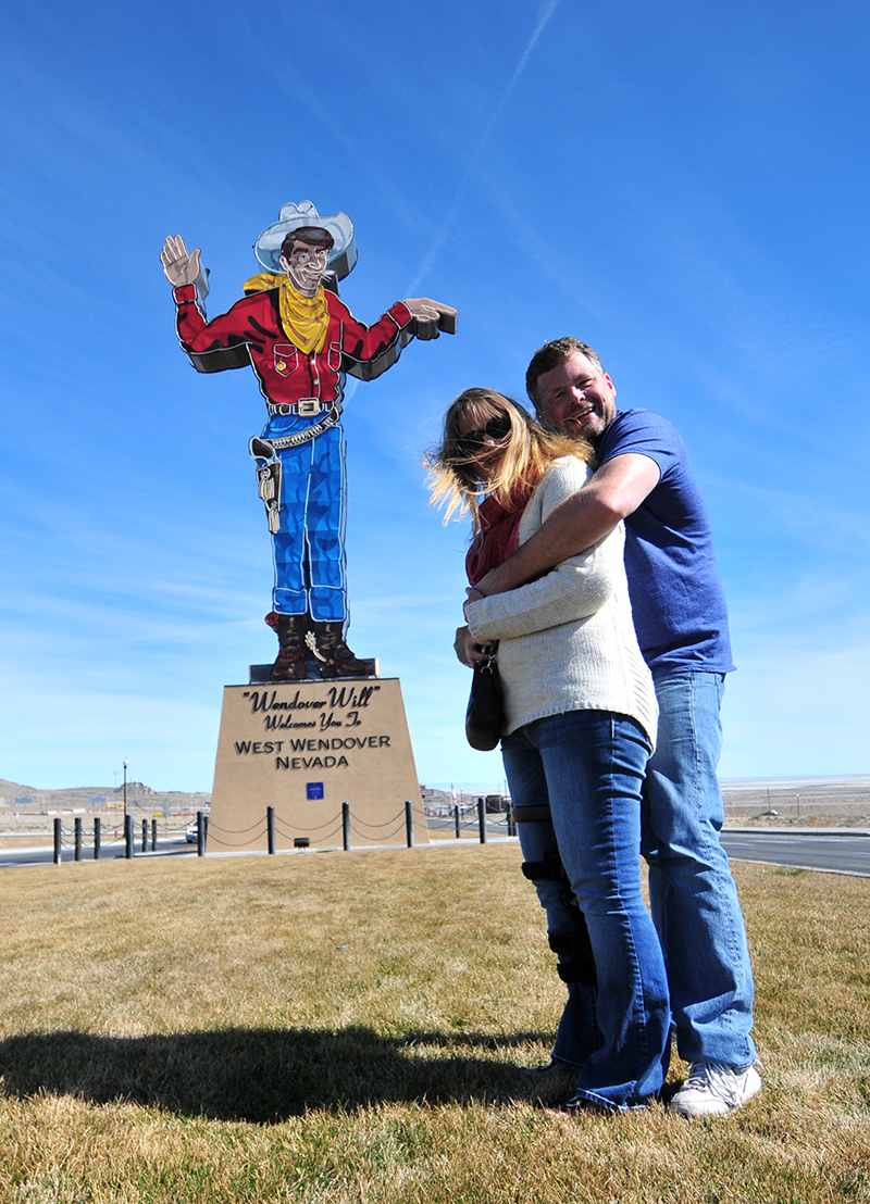
This is on the west end of town. Hard to miss from the highway.


As you drive east from Wendover, you drop down into the Bonneville Salt Flats. The view is otherworldly and our camera’s didn’t capture it well. When I-80 reaches the basin, the freeway stretches out, perfectly straight, interrupted by occasional mirages that play tricks with your eyes. Signs posted along the way discourage stopping, so we didn’t stop until we got to the other side. Since we didn’t get any pics of the flats, here are a couple taken by others:
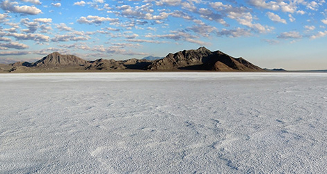
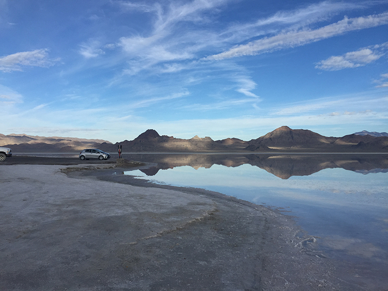
There was plenty of spring water on the flats, so this photo is appropriate also. https://commons.wikimedia.org/wiki/File:2015-09-29_08_56_37_View_northwest_from_the_end_of_the_road_to_Bonneville_Salt_Flats_International_Speedway_near_Wendover,_Utah,_with_calm_waters_covering_the_salt_flats_and_reflecting_the_sky_and_mountains.jpg
When we reached the other side of the basin, we discovered the Knolls Off Road park. We checked it out, finding places to camp and play in the sand.


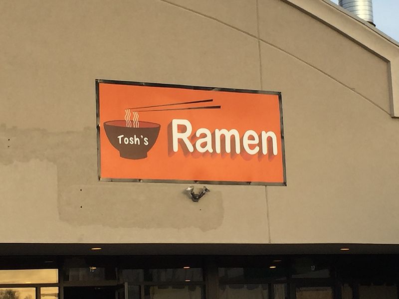
After Knolls, we drove the remainder of the way to Salt Lake City, where we met my daughter and youngest son for dinner. We tried a new place, Tosh’s Ramen. We arrived at 5pm, which is when they opened. That turned out to be a smart idea, because in no time there was a waiting line. The ramen was delicious! We were evan able to order some non-gluten yam noodles for my wife. Hanging out with my kids and eating ramen was a great way to end the night.
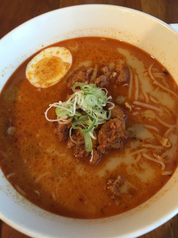
Soicy Karai Ramen. Yum!
Tomorrow, we head take off from Provo for Grand Basin National Park and Ely. I’m not sure where we’ll spend the night.
<– Day 1- Wednesday March 9th: Oh, the Inhumanity! | Beginning | Day 3 – Friday March 11th: Dining in an Ely Jail –>
I recommend downloading Here Maps. You can download entire state data for offline use.
dave – you guys get around.
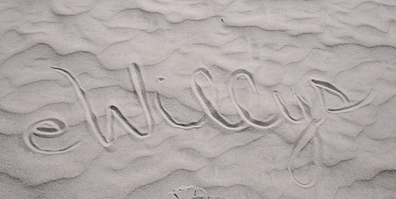
I like the “eWillys” in the sand, someone is talented and has long arms! I don’t see any footprints.
Mark … that would be my wife. She’s got skills, but not long arms. 🙂
Seth … I will give them a try!
Bob … We do love traveling.
Had I known you were coming thru Buhl Id I could have met up with ya. I ride my Mule out in the Balanced Rock area quite a lot.
Our visit to the Bonneville Salt Flats during Speed Week 2003 changed my life forever.
Rick: That must be fun! Yes, too bad. We didn’t linger too long, since we had to get to SLC.
– Dave
I’m with Mark S…. loved the eWillys in the sand 🙂
And of course always love reading your adventures… balanced rock, Wurlitzer, and the sheer bravery of pressing onward without a map nor signal: cool B-)
Bravery? Foolhardy might be another description 🙂