kent-frost Research Archives

To Top

1961 Video on San Juan County, Utah

• CATEGORIES: Features, Old Images Jeeping, videos • TAGS: This site contains affiliate links for which I may be compensated.

As a former Utahn, I found this video interesting. I never knew that Mexican Hat was named for a rock formation (but I’ve only been through there once). The video is a half hour. To view it, click the photo below. Then, click the “Play” button.

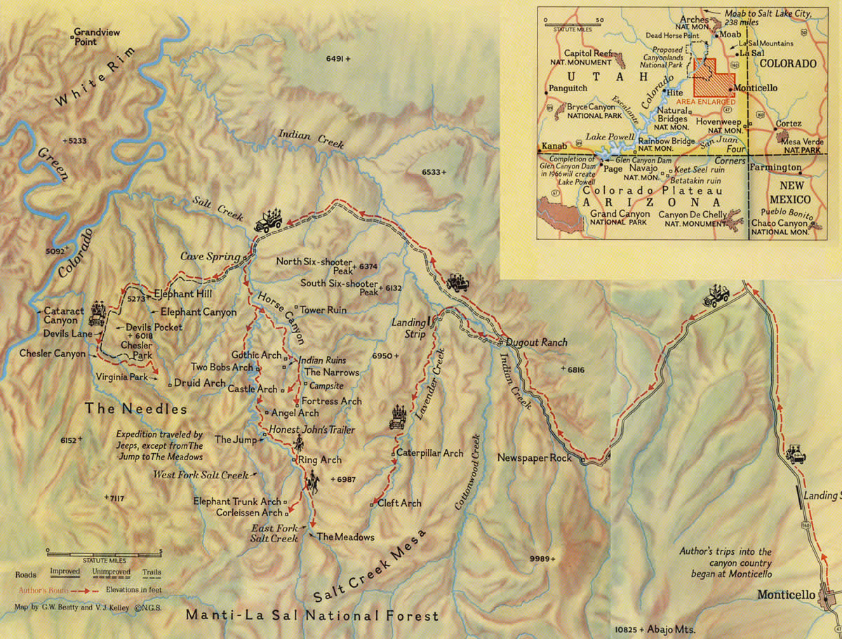
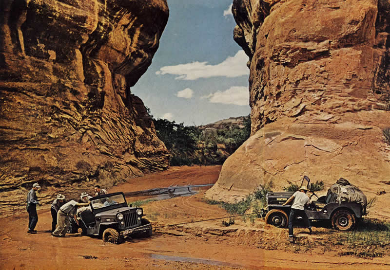
Travelogue produced and narrated by Al Morton for San Juan County, Utah, in 1961. It covers the scenic sights of San Juan County, including Rainbow Bridge, Looking Glass Rock, Monticello, Blanding, Bluff, Recapture Canyon, the Valley of the Gods, Mexican Hat, the Goosenecks of the San Juan, Monument Valley; Hovenweep National Monument; Newspaper Rock; Natural Bridges National Monument; the Canyonlands Needles area, Angel Arch, and Dead Horse Point. A significant portion of the film involves a Jeep tour run by Kent and Fern Frost. Includes references to local industries, the Navajo Indians, and the settlement by the San Juan Mission in 1878-1879. Run time: 30 minutes, 3 seconds;


[fb_button]
 
To Top

1962 National Geographic Trip in Canyonlands

• CATEGORIES: Features, Magazine, Old Images Jeeping • TAGS: This site contains affiliate links for which I may be compensated.

For five days in July of 1961, then-Interior Secretary Stewart Udall, Canyonland-legend Kent Frost, and a posse of government folks toured the Caynyonlands area by jeep, boat and helicopter. The huge tour was Udall’s idea, which probably explains why National Geographic was invited on the trip. Udall’s efforts paid off with Utah Democratic Senator Frank Moss proposing Canyonlands National Park (learn more here). The bill was signed on September 12, 1964. What an amazing trip that must have been.

The National Geographic published the story in the May 1962 issue under the title, Cities of Stone in Utah’s Canyonland. The magazine only published one jeep photo, but they did include a map with tiny jeeps showing the route taken.

View all the May 1962 National Geographics on ebay

1962-05-national-geographic-1 1962-05-national-geographic-2

[fb_button]
 
To Top

The First Set of Pics — The Southwestern Utah 1961 Trip

• CATEGORIES: Features, Old Images Jeeping, Trips • TAGS: , This site contains affiliate links for which I may be compensated.

First published (03/24/2011): A reader named Alan found these these classic jeeping images from the Four Corners area of the Southwest while scanning some slides, taken while on a jeep trip in 1961.  Not only are the colors wonderful, but quality of the shots are fantastic.  The slides came from Alan’s father-in-law and the CJ-3A, the yellow jeep in image 2, was his father-in-law’s father’s jeep.   I will publish a couple more posts with more pictures later this week.

When I lived in Utah, I used to travel down to the Moab area, find a piece of slickrock (similar to the type of rock the jeep below is traveling down), throw my sleeping bag on a flat surface, and fall asleep under the stars (and there are lots of visible stars down there).   At sunbreak in the morning, the light would cause the slickrock to turn intense reddish colors.  Southern Utah is one of my favorite places to explore.

See additional pics here.

[fb_button]
 
To Top

The Second Set of Pics — The Southwestern Utah 1961 Trip

• CATEGORIES: Features, Old Images Jeeping, Trips • TAGS: , This site contains affiliate links for which I may be compensated.

Here’s another round of pics from the 1961 Four Corners trip his father-in-law and his father-in-law’s father took.  You can see the earlier round here.

Now, for a bit of trivia, the four corners monument is actually 1800 feet away from the real point where the four states meet.  You can learn why here.

And here they have arrived at the Four Corners, a place which looks a bit different than it looks now!

[fb_button]