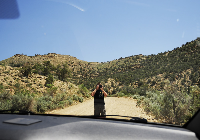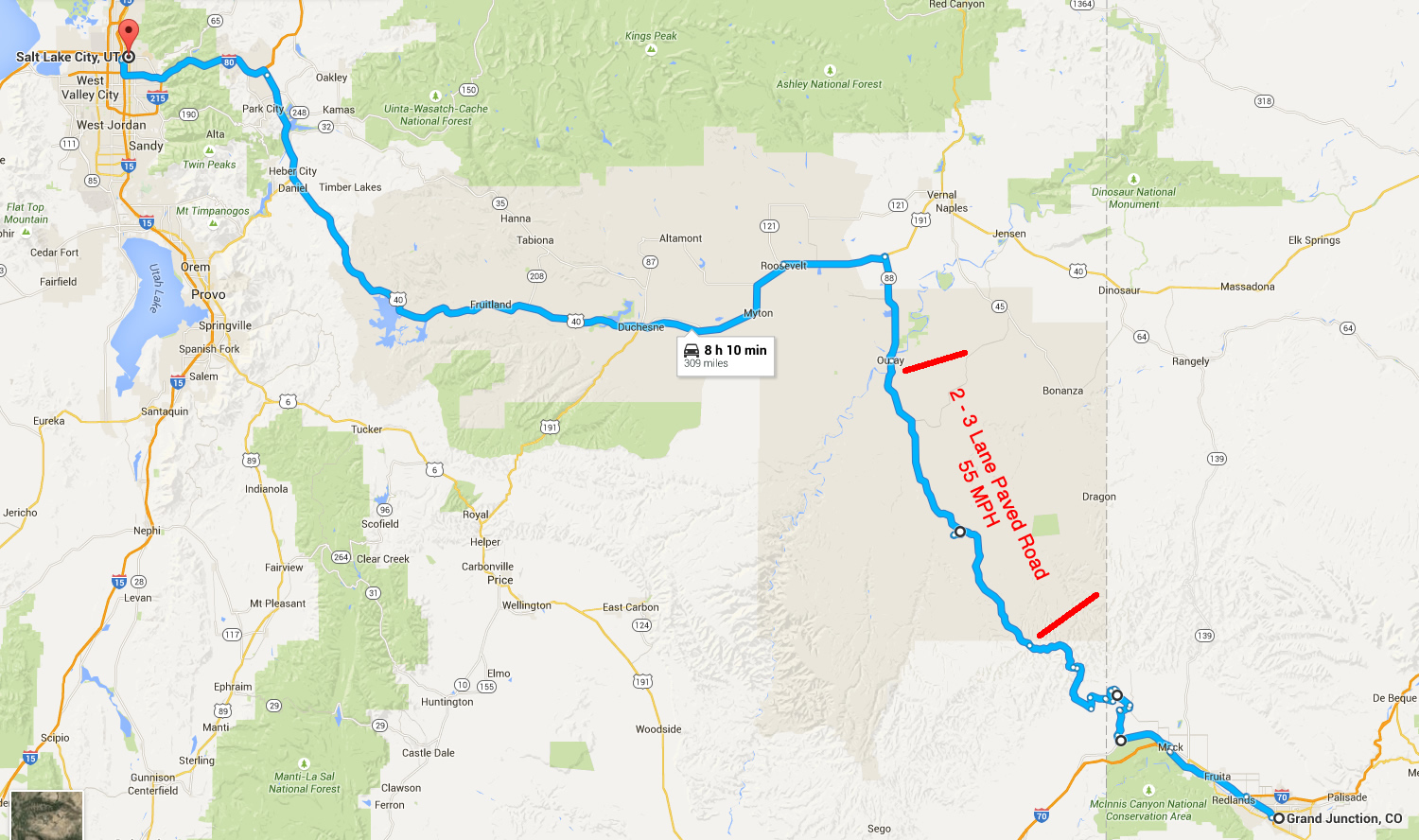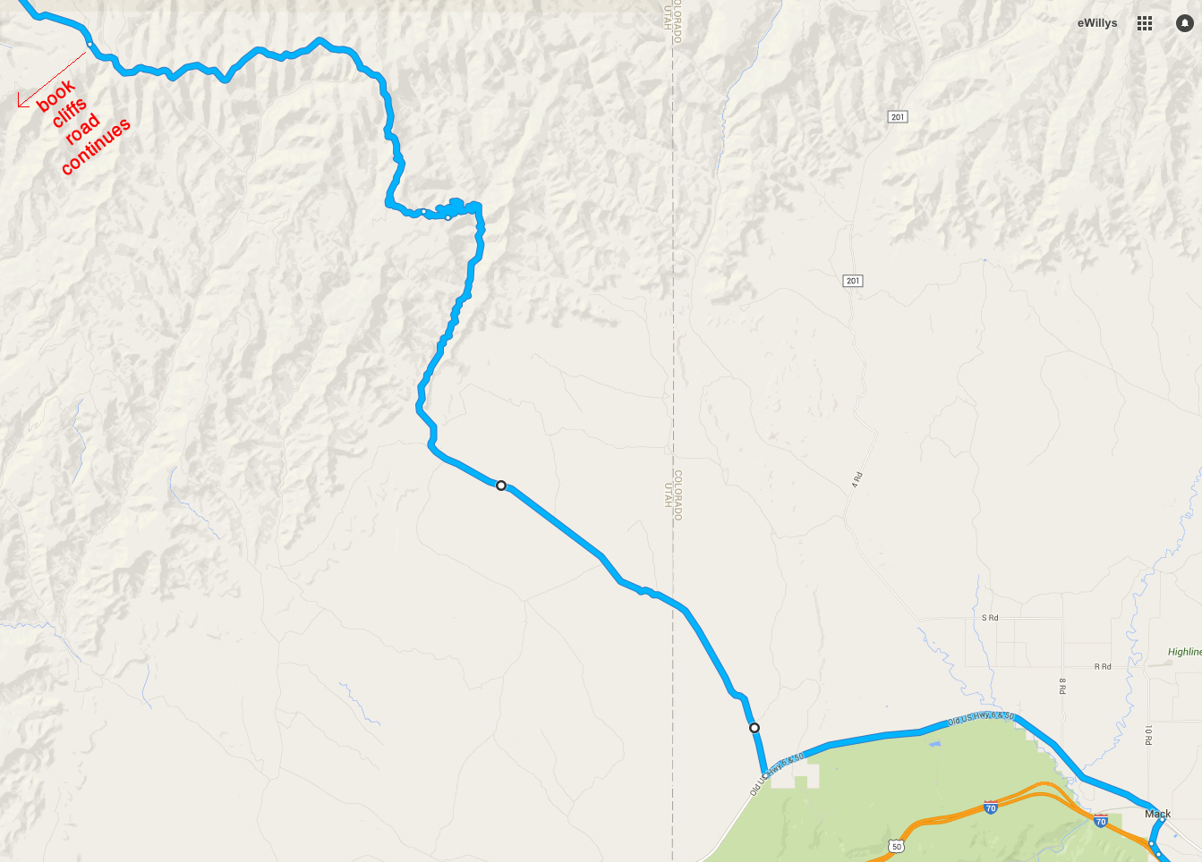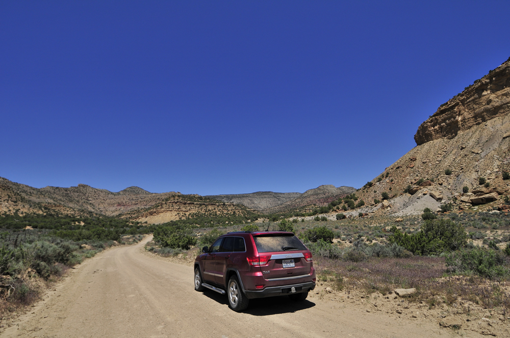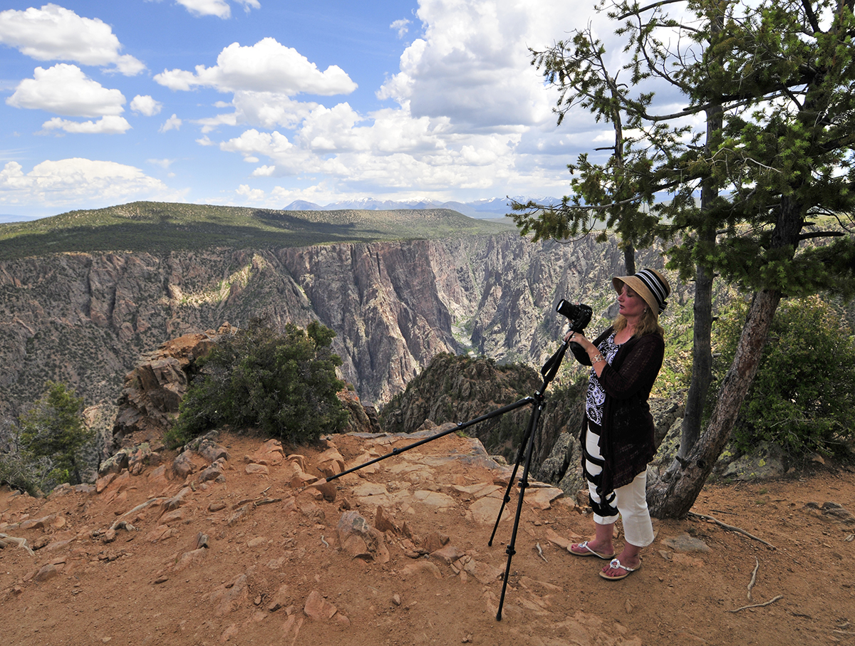
<– Day 52 – Tue. Jun. 2nd: Navigating the Book Cliffs | TRIP OVERVIEW –>
We spent Wednesday with my kids to celebrate my upcoming 50th birthday June 5th.
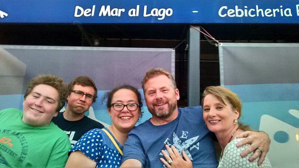
June 3rd Dinner at Del Mar al Lago in Salt Lake City.
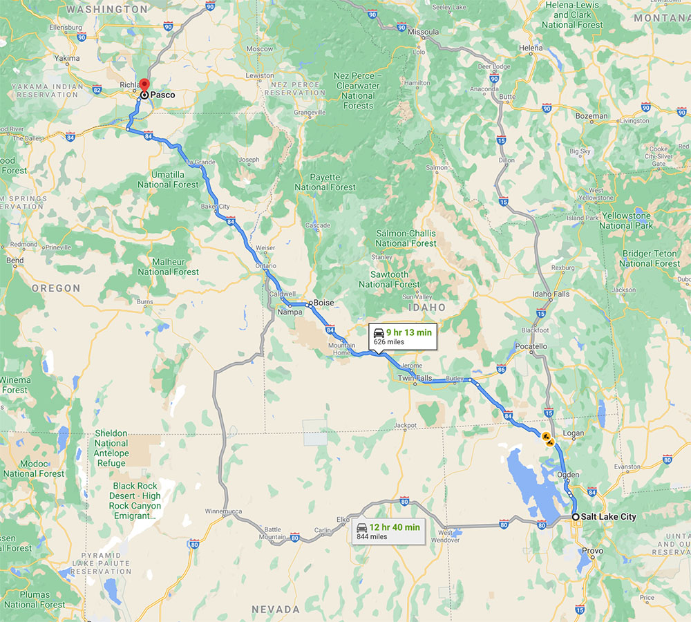
Like all good things, this amazing Texas tour had to come to an end. So, thursday morning we left Salt Lake at 2:30am. In a funny coincidence, while driving through Boise at 7am, my cousin passed us on I-84 on his way to work. Ann was driving at the time, while I was napping, when he sped quickly by us. He recognized us as he passed, so he sent me a text, telling us ‘good morning’ and apologizing that he was ‘late for work’. Then off he went.
Small world.
We arrived in Pasco six hours later, ending our54-day trip after 10,113 miles of driving. Thanks to everyone who made it a fun, interesting, education, and entertaining time!

Friday is my 50th birthday. I’ve got posts scheduled for the next couple days, so I’ll be able to take some time off and get a massage :-). That’s a good way to start the second half of my century.
<– Day 52 – Tue. Jun. 2nd: Navigating the Book Cliffs | TRIP OVERVIEW –>