<– Day 51 – Mon. Jun. 1st: Black Canyon of the Gunnison | TRIP OVERVIEW | Day 53-54 – June 3rd-4th: The Journey Home –>
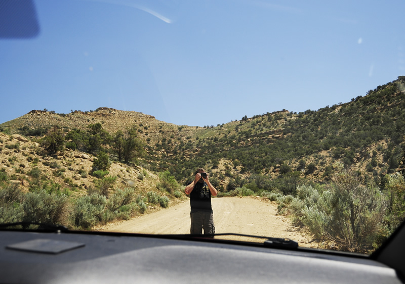
Intrepid photographer at work.
There’s an area of eastern Utah just north of I-70 called the Book Cliffs that has remained pretty remote. On Tuesday, I decided to go from I-70, north along dirt roads through the Book Cliffs, in hopes of reaching State Highway 40, which crosses Utah from Salt Lake City to Vernal. The biggest problem I had was that my 50-page Utah map marked non-paved roads with dashes and the dashes, as they intersected at odd angles, made the map’s roads tough to read. In addition, the roads weren’t marked well on the map. So, I expected it might be a challenge.
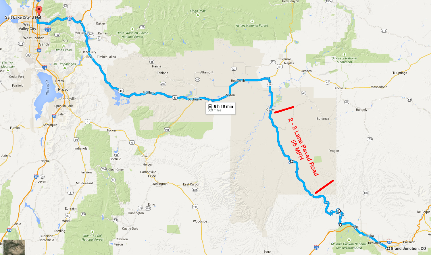
Overall route.
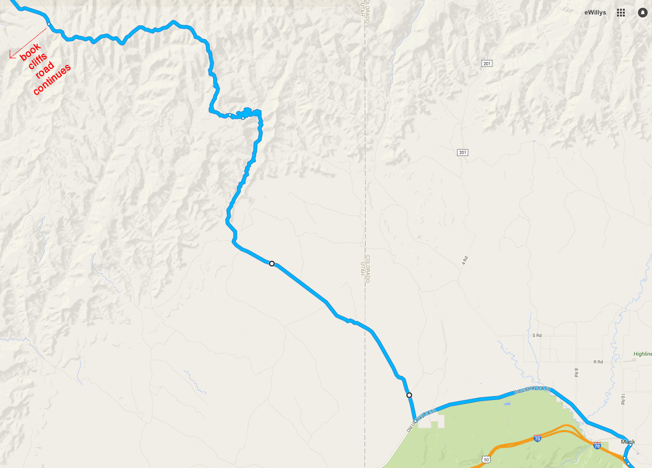
Closeup of our route across the remote planes and up the book cliffs.
On Tuesday we left later than planned, due to my sleeping in. We traveled west on I-70 from Grand Junction until we reached the exit for Mack, Colorado. From there, we followed State Highway 6 hoping to find a road called the Book Cliffs Ridge Road, which we never found because Colorado didn’t mark the road that way. Instead, they used some number that didn’t appear on any of the maps we had. Still, by process of elimination, we figured out which road was the Book Cliffs Ridge road.
Entering the cliffs.
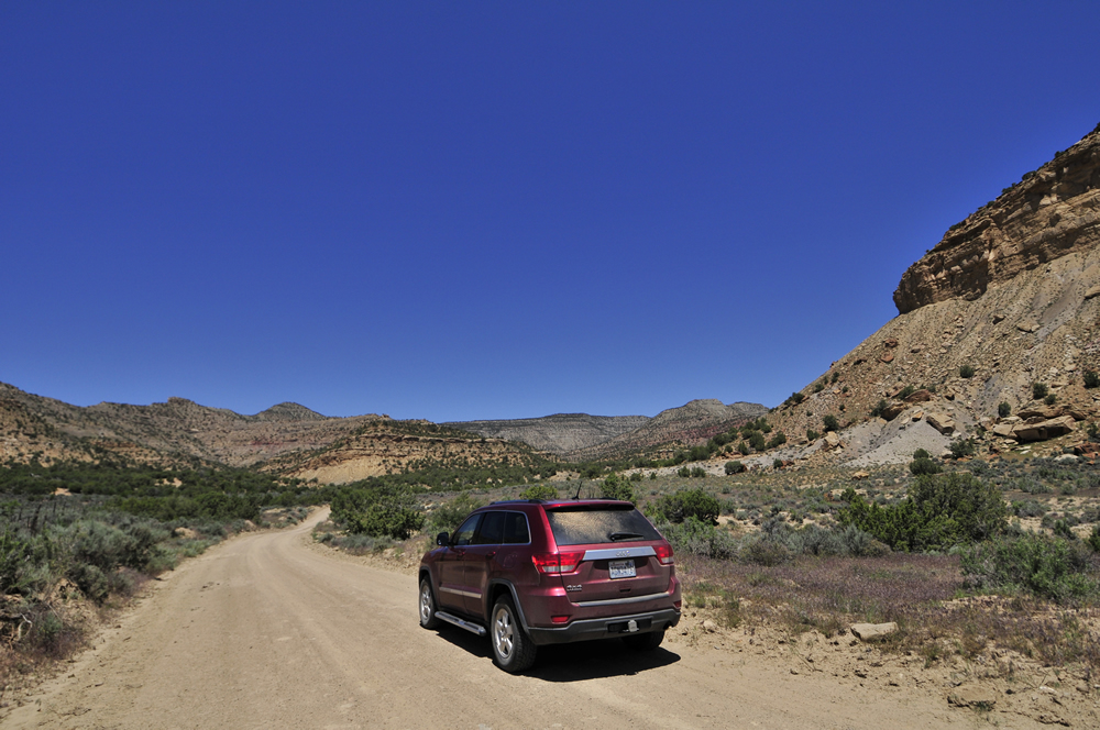
Once on it, we encountered gravel and washboard. Fortunately, that only lasted about five miles. We followed the main road for twenty minutes or so until we reached the foot of the cliffs. Then the road turned into flat dirt with no gravel.
At 10-20mph we wound through washes, climbed small hills, then dropped back into more washes. All the while random roads intersected and veered off. With no BLM (Bureau of Land Management) road numbers or signs, we did our best to guess our way through the maze.
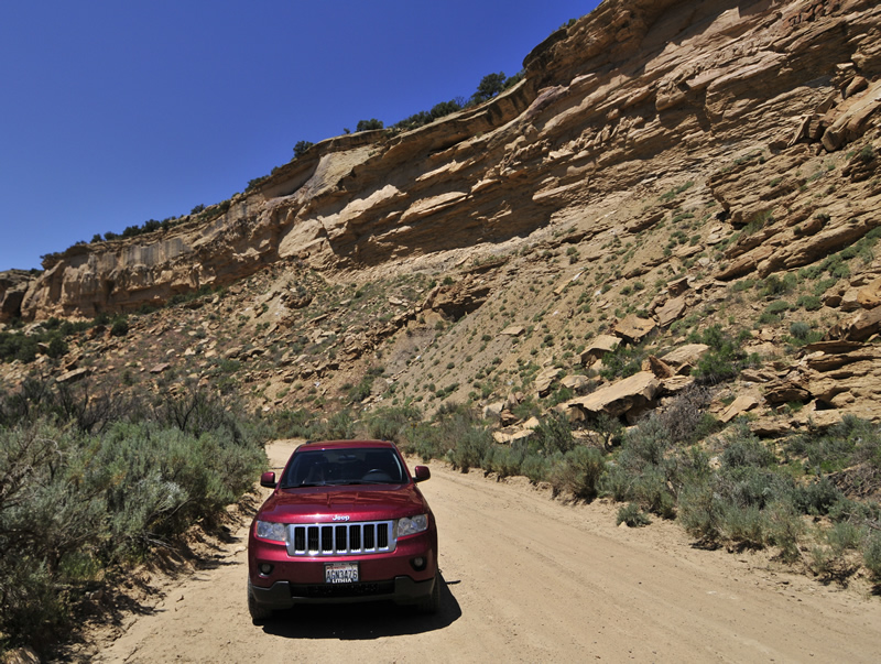
Following the road through the cliffs looking for the hill climb.
Eventually we found the hill climb we sought. It criss-crossed sharply up the hill. We probably climbed 1,000 or more feet by the time we reached the top of the ridge.
Near the top of the ridge.
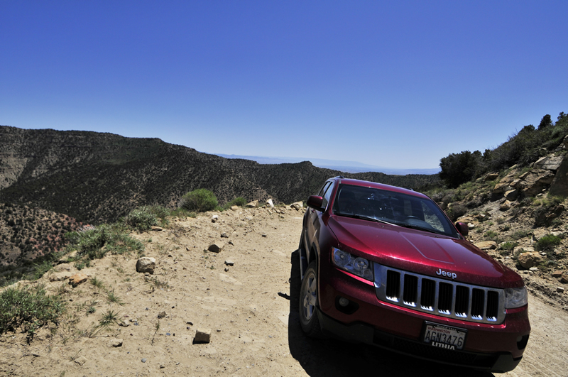
Once on top of the ridge, we followed it, enjoying some beautiful views of the valley to the south. At one point I took a wrong turn. We soon found ourselves at a dead end. If you pull out a map of the area you’ll see lots of dead ends. We got quickly got back on track.
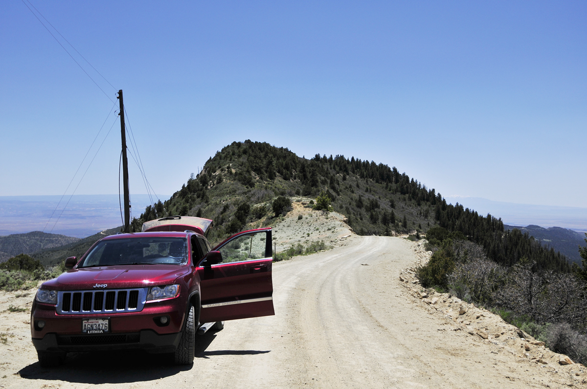
The was a particularly beautiful spot with long range views from both sides of the road.
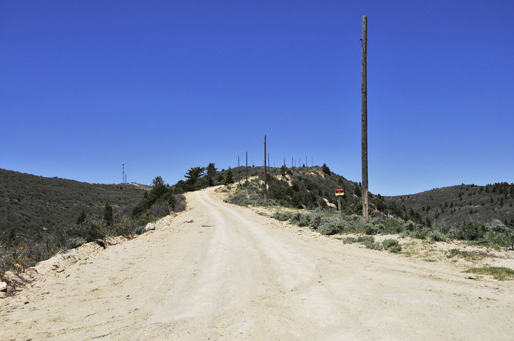
This is looking up the hill. To the left of the road is a tower that marks the highest point.
When we reached the top of the hill we found all kinds of cows milling about waiting for something interesting to happen.
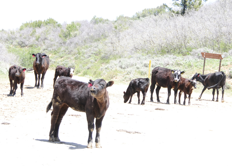
The photo is a bit washed out as Ann’s camera’s light sensor was misbehaving the entire trip. She wants a new camera. I suggested getting the sensor fixed. She didn’t really like that idea, but she knows it is the most sensible.
The Book Cliffs Ridge Road is actually a loop that goes up the east side of the cliffs, follows them for a while, and then drops down on the west side. So, our challenge was to locate Seep Ridge Road that veers off of the Book Cliffs Ridge Road. It turned out that challenge wasn’t hard at all, because the BLM had installed a sign to help us out.
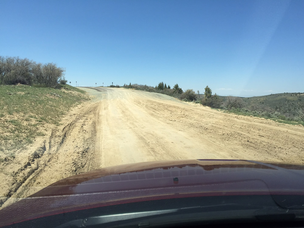
The biggest surprise was that according to all our maps, fifty miles of Seep Ridge Road heading north to Ouray, Utah, was as rough and remote as the Book Cliffs Ridge Road. However, after driving on Seep Ridge for maybe a mile or two, the entirety of which required high clearance due to deep ruts, the road suddenly changed from rough road to a beautiful new three lane highway.
The surprising transition from off road to brand new pavement. Civilization is advancing rapidly on the Book Cliffs.
It was a shock to encounter the pavement. We didn’t have to be Einstein to figure out that the road through the Book Cliffs wasn’t going to remain a remote path for very long.
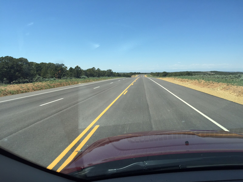
It was a beautiful road. There were no signs along the road, other than a few dated BLM signs.
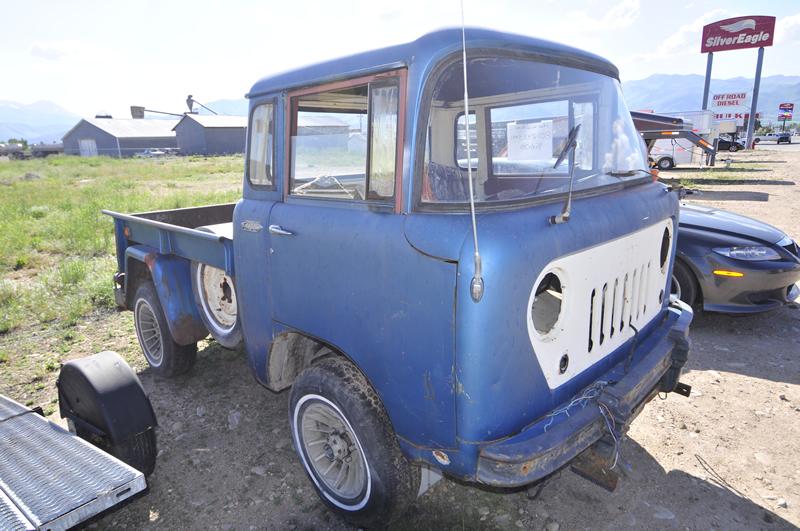
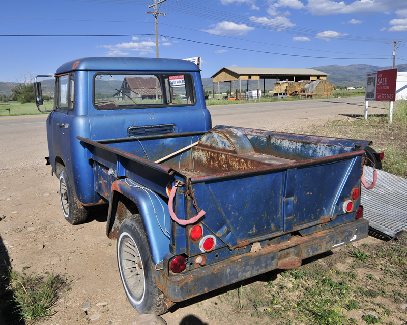
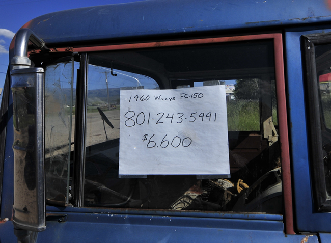
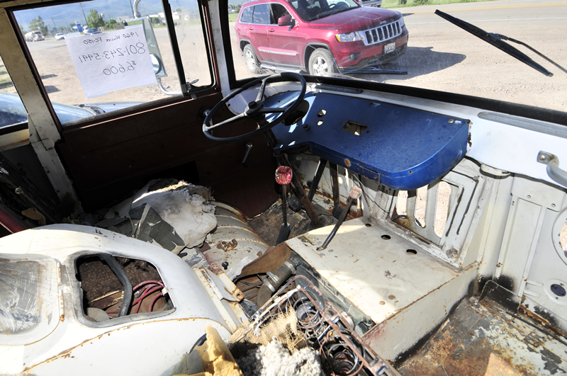
The remainder of the trip was boring, as I’ve traveled the road multiple times. The only exciting event was encountering this 1960 FC-150 for sale in Heber City, Utah. It’s got a nice body, but the price seems unrealistic.

We are spending all Wednesday in Salt Lake City with my kids. We are celebrating my 50th birthday with them, which arrives all-too-quickly on Friday.
On Thursday we will drive from Salt Lake City to home in Pasco, Washington.
<– Day 51 – Mon. Jun. 1st: Black Canyon of the Gunnison | TRIP OVERVIEW | Day 53-54 – June 3rd-4th: The Journey Home –>
Sounds like a cool, scenic adventure. But what’s “BLM”? I’m guessing Bureau of Land Management?
OMG: your birthday is June 5th? Same as my son’s 🙂
Welcome to the 50s!
Yep, June 5th! Good idea to spell that out. It’s such a common Acronym out west, I forgot not everyone is familiar with it.
Hi Dave.
I was just at the edge of the Books Cliffs last week.
On our return from Moab, we did a run up Sago Canyon to see the petroglyphs, abandoned Sago “town” and cemetery.
We drove up the canyon to the end of the road where it meets the reservation.
Nice drive, cool stuff to see.
Small world John! It’s a good time of year to explore that area. The temperatures were perfect.