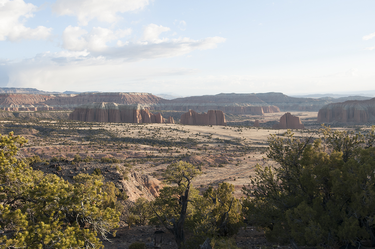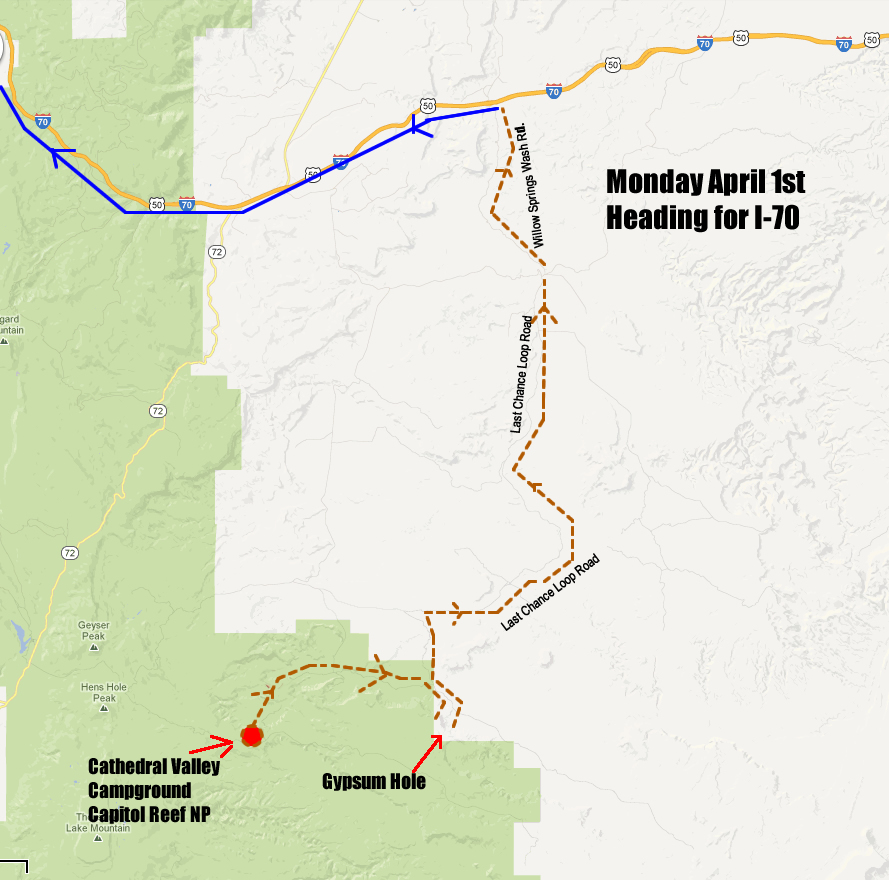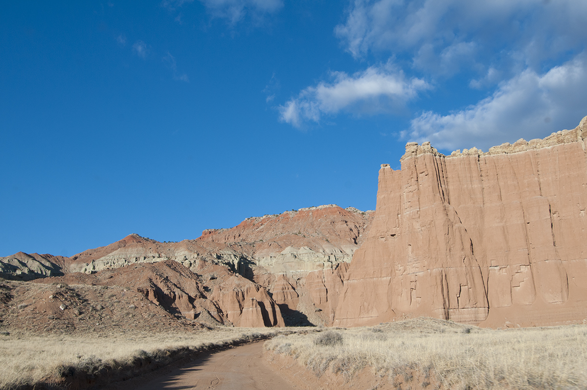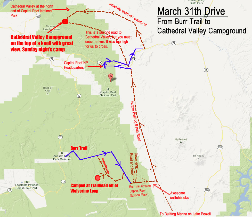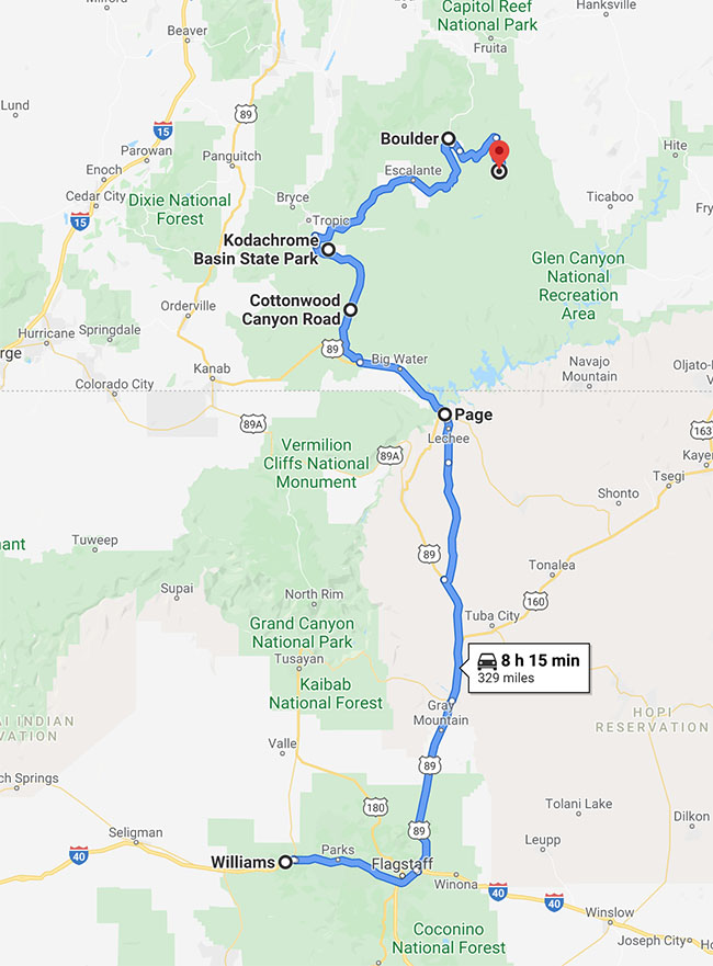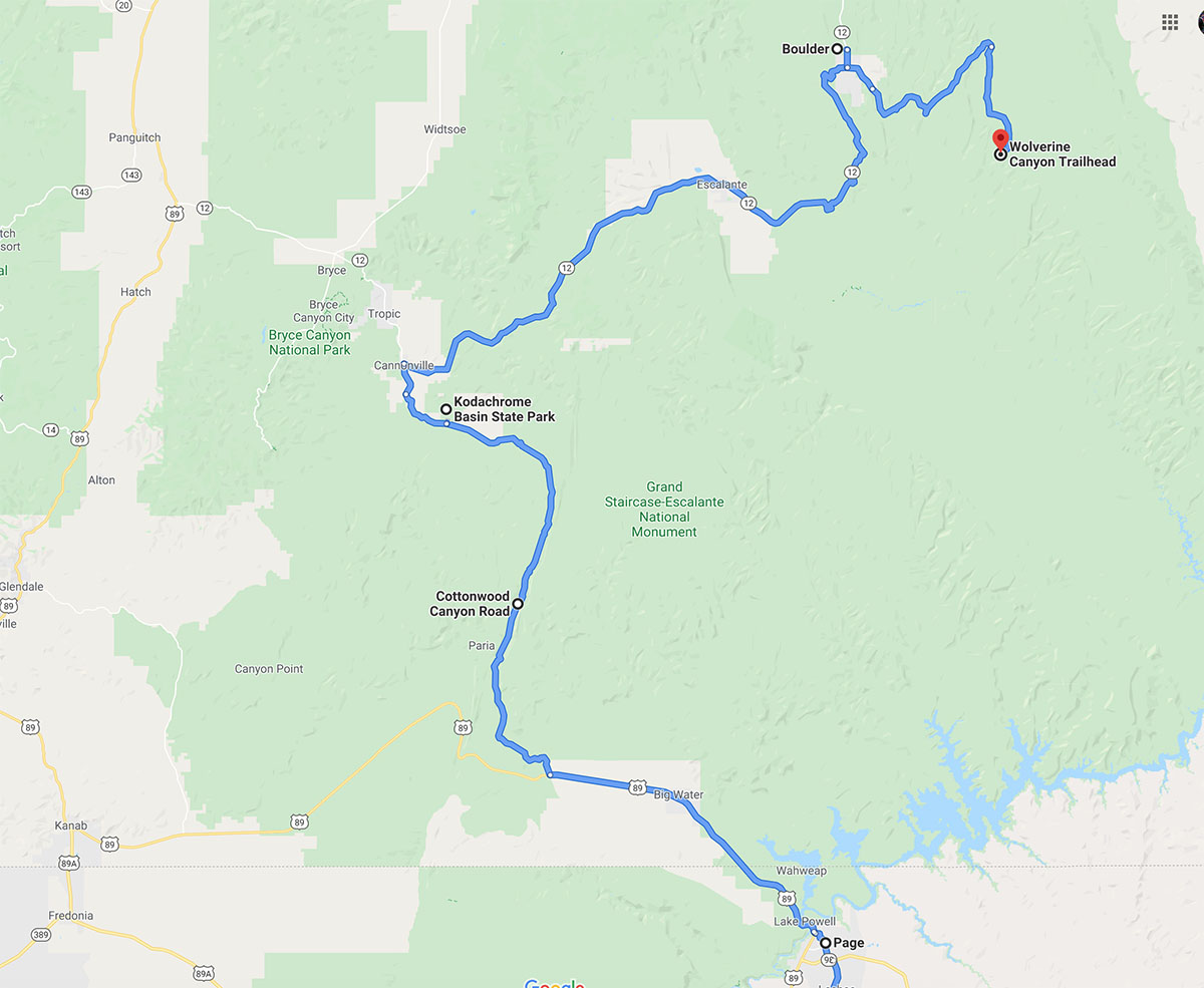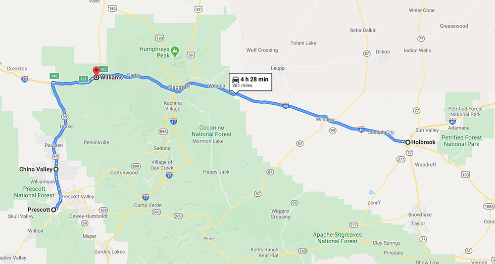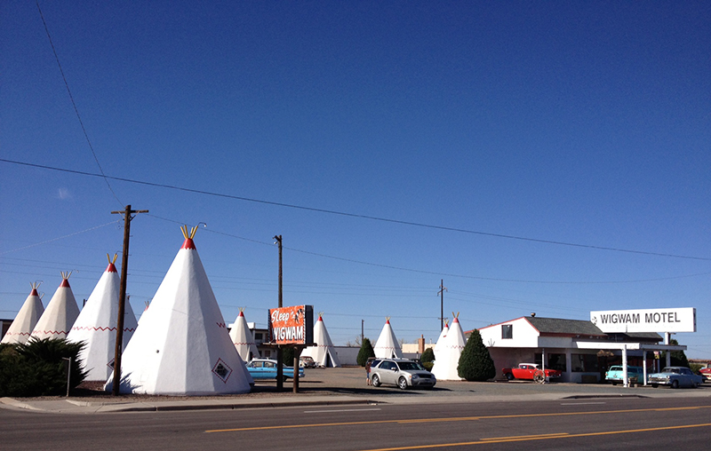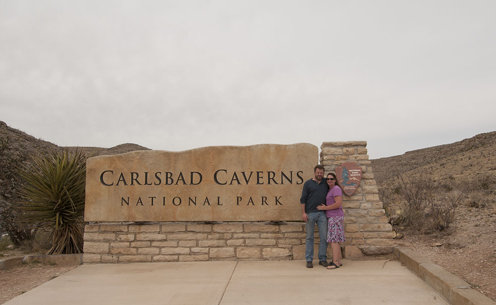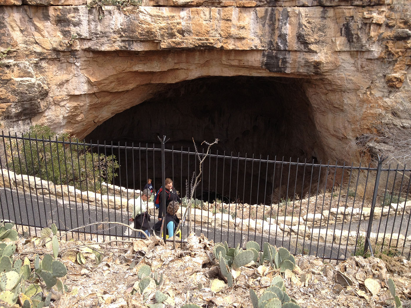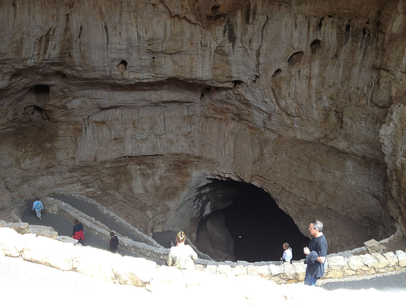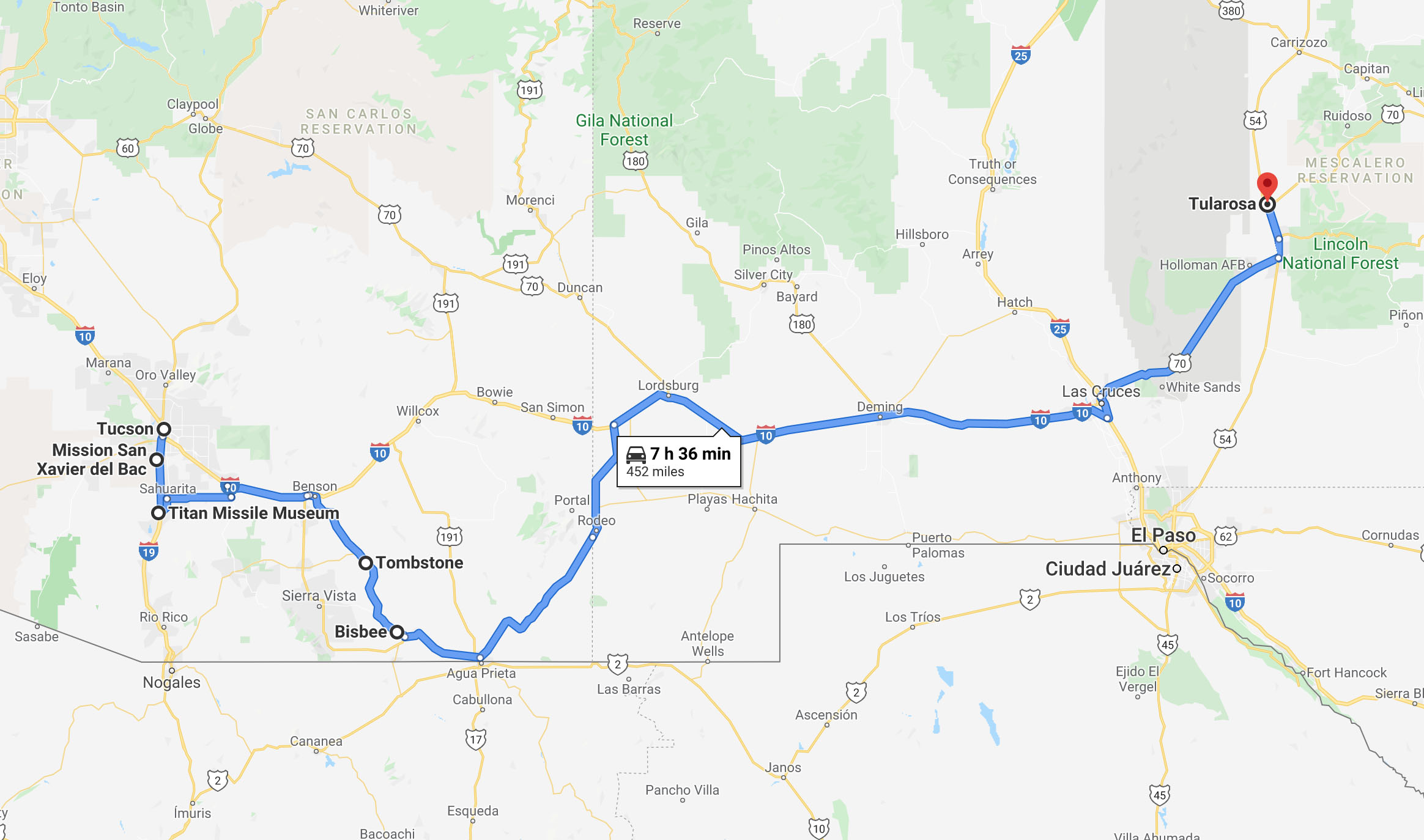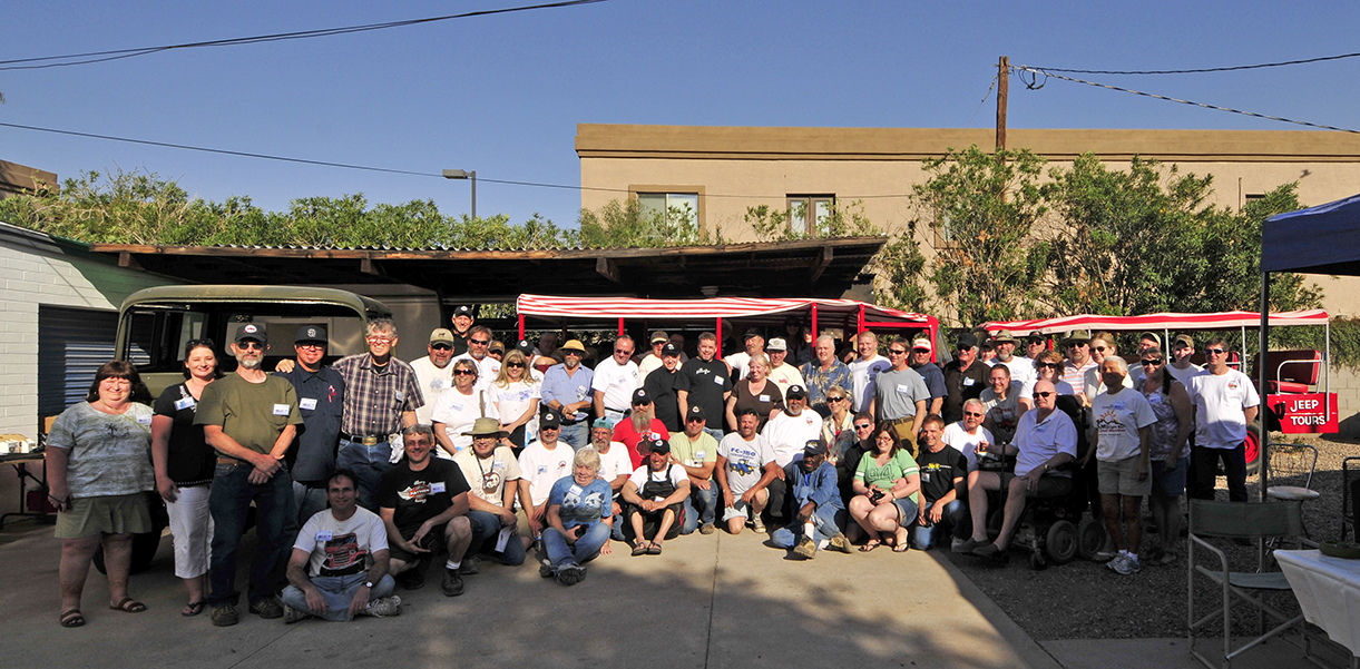
2013 March/April Trip (Ordered by Date) to The FC-Roundup and the Southwest
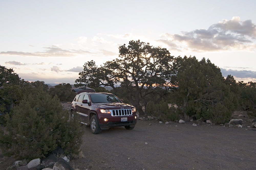
Henry’s Performance (2012 Jeep Grand Cherokee Laredo All-Wheel Drive)
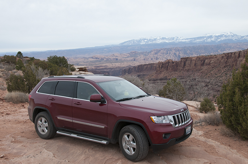
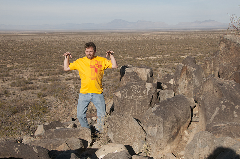
Henry at overlook of Moab and La Sal Mountains
Gerald asked about our 2012 Grand Cherokee’s performance during our trip. He also asked if our jeep had a name yet. Yes, the jeep has a name: Henry. It was Ann’s idea, since most of her life she’s owned a Ford. We even traded in her Ford Mustang for the jeep (now there’s a great wife — willing to trade in her car to get a jeep!)
Henry has the basic Laredo GC with the 3.8 with the towing package upgrade. It has fulltime all wheel drive, but doesn’t have low range. We bought it with approx 4k miles for $28,500. Our goal was to have a mildly off-road, a snow, and a camping capable vehicle.
Having put 6,000 miles on Henry in the last five weeks we have found the jeep has exceeded our expectations. Rated at 23mpg we regularly get 25mpg at 75mph without air conditioning (it hasn’t been warm enough to run the air). The jeep handles well enough that I don’t miss touring with my BMW 540i. My BMW has better passing power, but I can live without that.
The jeep is well equipped for working in the passenger seat. Two electrical outlets allow me to keep my computer / phones/ broadband device powered. The windows could use some tinting to help reduce computer screen glare.
Not only are their cup holders in the middle, but the doors have auxiliary cup holders, which work well for bottles of water or empty cans. We really appreciate the door cup holders!
The jeep has the push button starter, which I’d never used, but really like! I keep the key in my pocket and Ann keeps one on her. There is no fumbling with keys to open doors or start the jeep. As long as the electronics and computer work over the long term I will continue to like this feature!
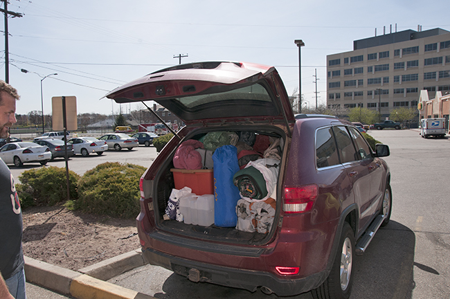
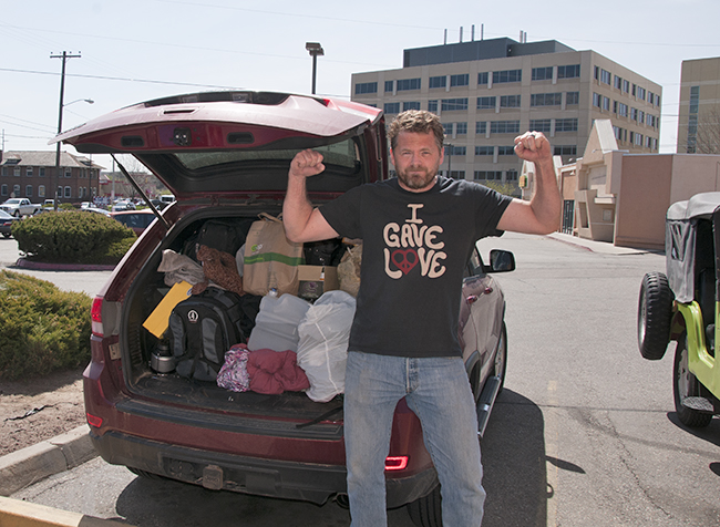
The packing capacity seems good. We’ll know just how good it is when I try to pack 2 terra tires into the back. My wife is convinced they won’t fit. I am convinced I can make them fit!
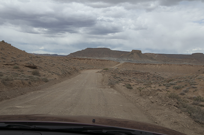
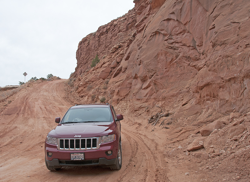
Here are a few pics of Henry offroad.
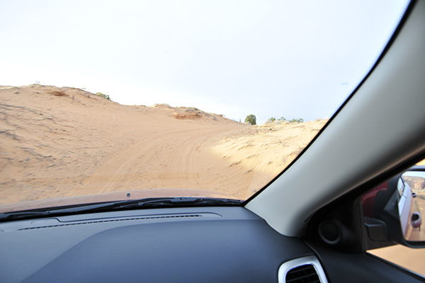
Testing Henry out in the sand. We didn’t want to get into sand that was too deep, but it drove through without issue.
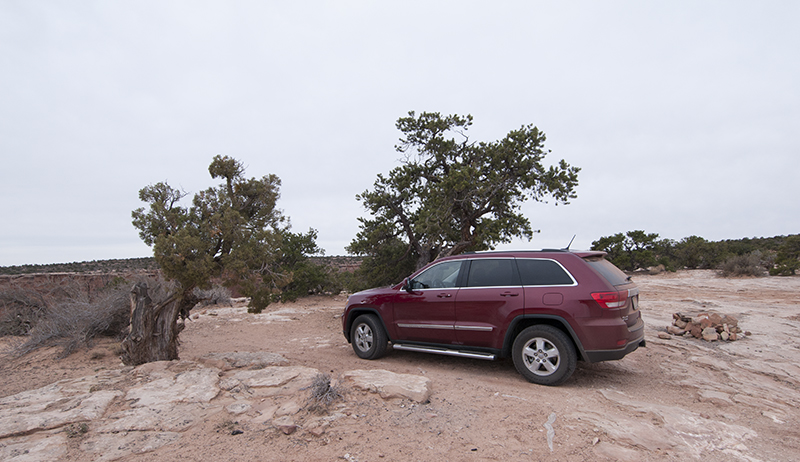
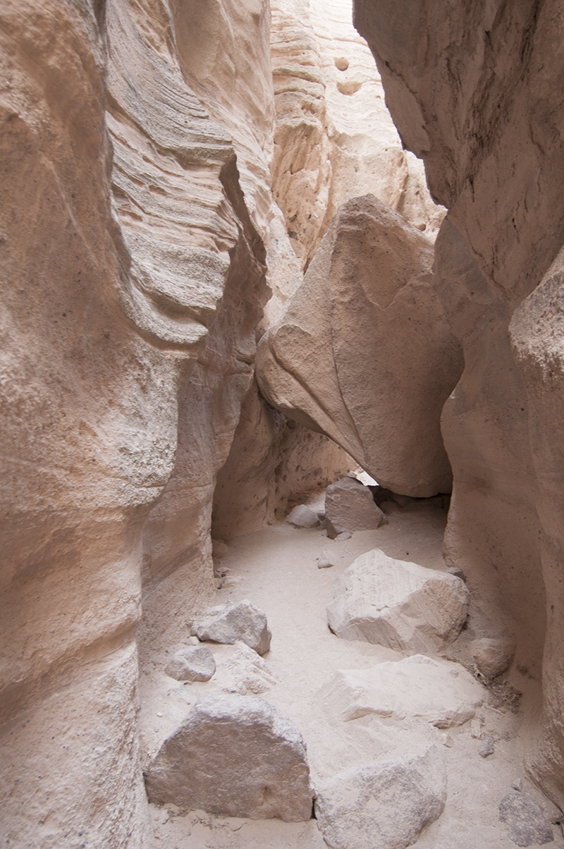
To get here I had to drive over rocks and branches. Even without low range there we encountered no problem.
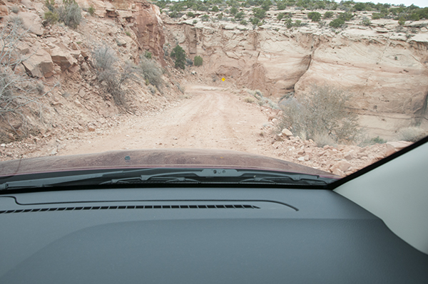
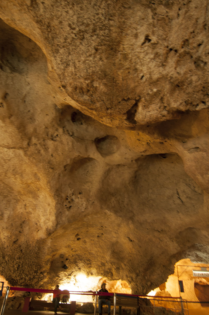
Of course the hill doesn’t look steep in the picture, but it was. We went down and up without any slippage. Now, if it were wet at all, we would have had problems.
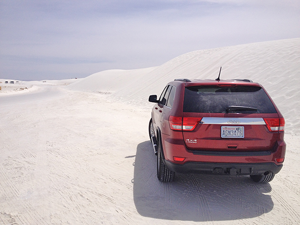
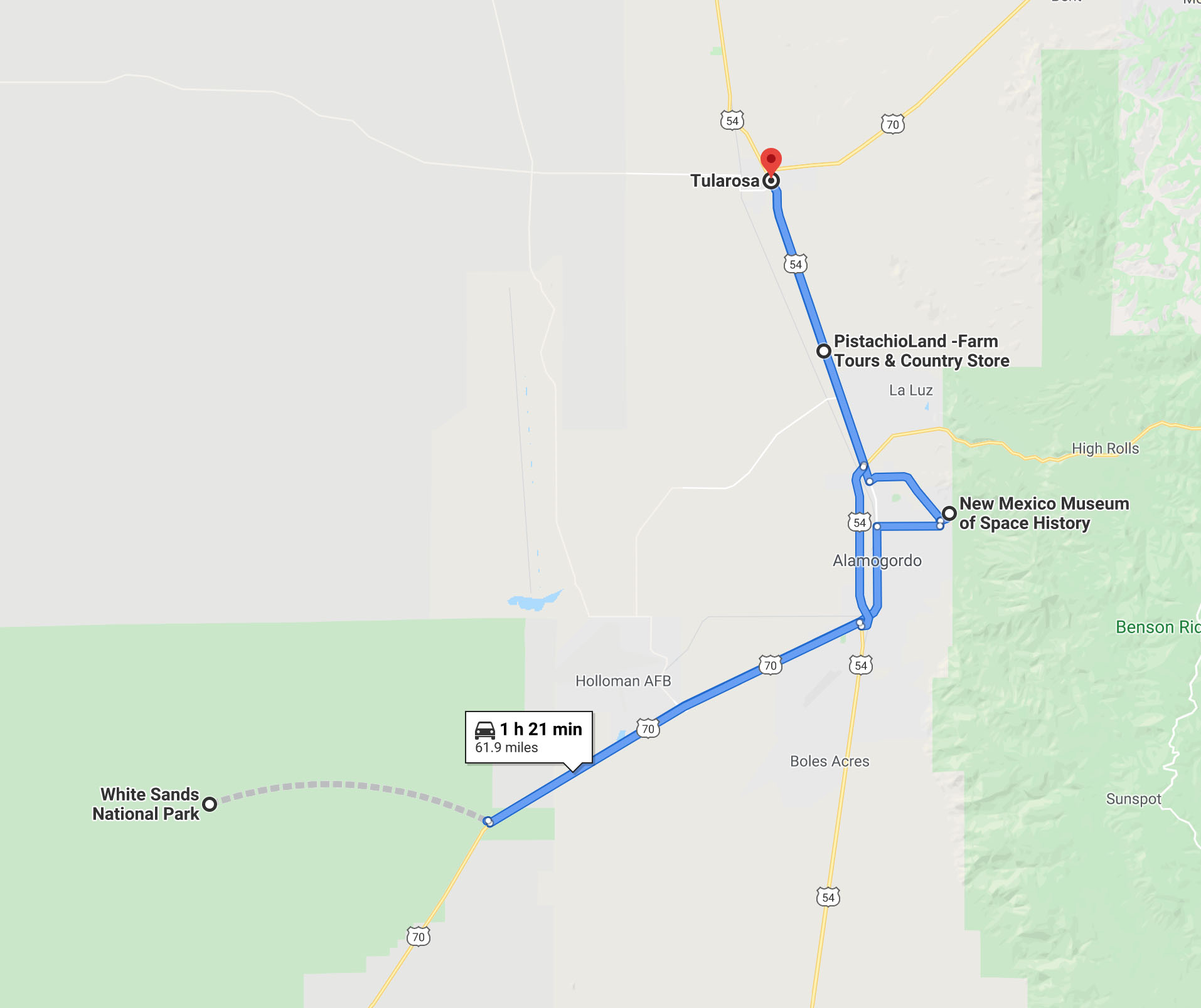
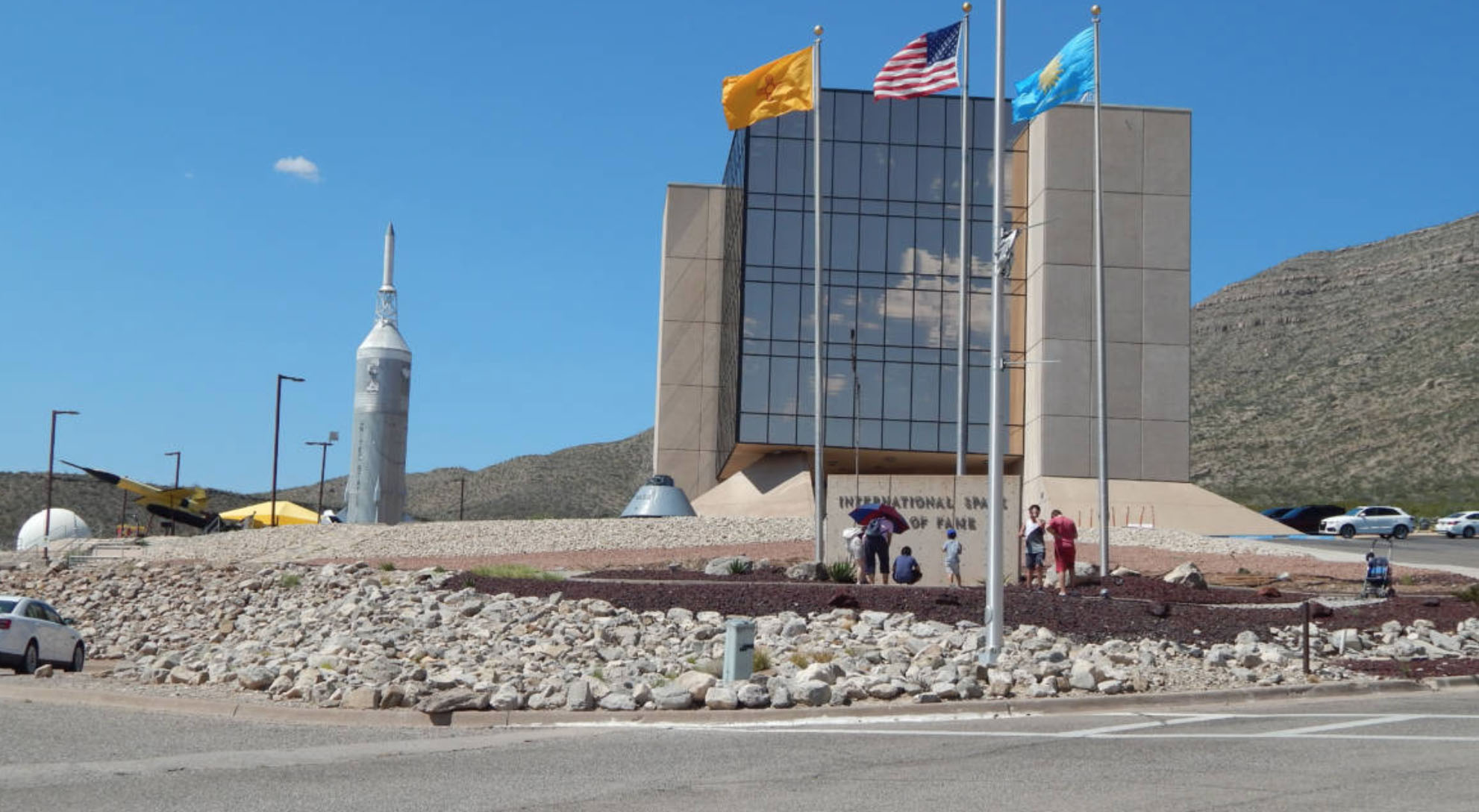
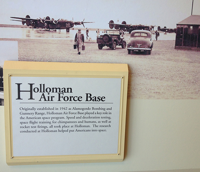
Waiting for us at White Sands.
2013 March/April Trip (Ordered by Date) to The FC-Roundup and the Southwest