<– Day 12 – March 29: Holbrook, Arizona, and Route 66 | Overview | Day 14 – March 31: From Wolverine Loop to Cathedral Valley –>
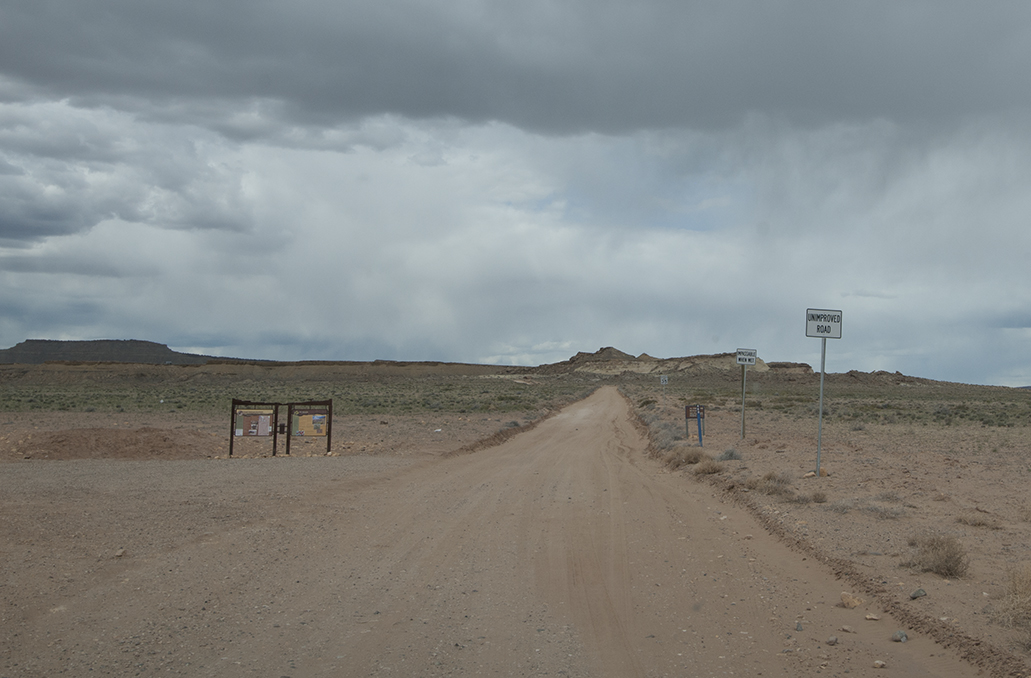
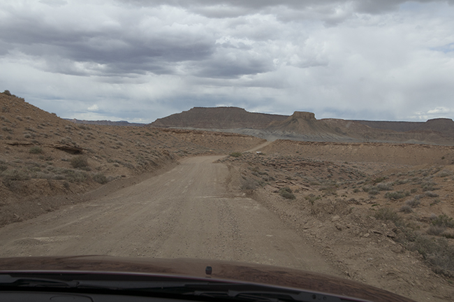
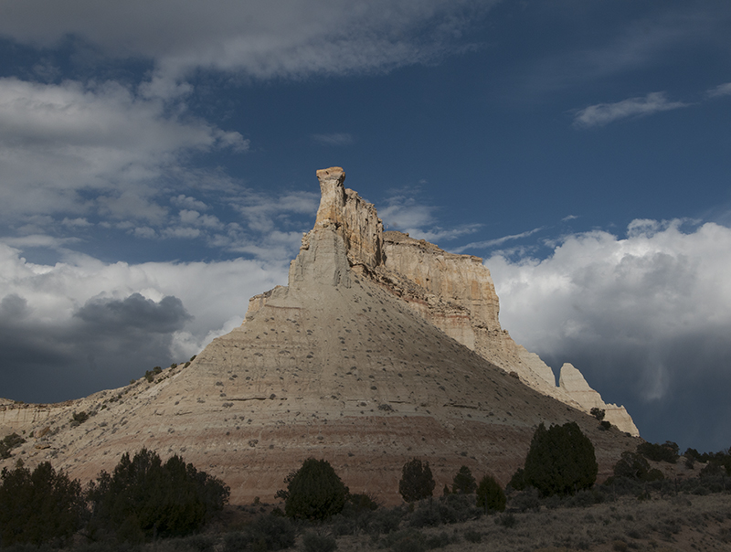
The southern entrance to Cottonwood Canyon Road
Last night we put together a plan to drive north from Williams on highway 89 and then take a little known dirt road short cut called Cottonwood Canyon Road that links highway 89 with highway 12. I’d driven that road more than a decade ago and wanted to tackle it again.
So, on Saturday March 30th we took off on an adventure. The first thing we encountered was a road closure. Highway 89 was closed near Page, AZ, due to some gaps in the road caused by moving earth. However, a detour of thirty miles got us around that issue.
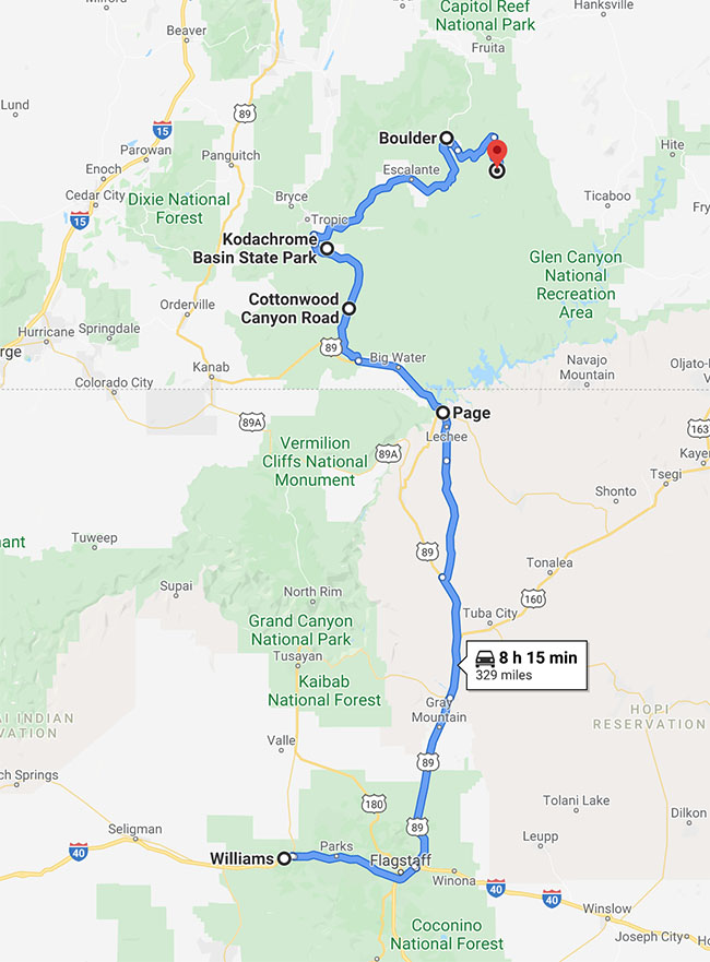
This shows our entire route on March 30th from Williams, through Page, and ending at the Wolverine Loop Trailhead.
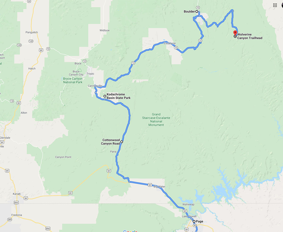
This is a closeup map showing the latter part of our drive.
By noon we were in Page, where we suffered an unexpected tragedy (the death of a wine bottle).
As I explained to my wife while picking up the glass from the broken wine bottle in the Safeway parking lot, it wasn’t my fault. Really, it wasn’t. Instead, it was the little crazy four-year-old who was riding like a mad-man around the busy parking lot while his father panhandled while riding a skateboard. The kid’s father had just asked us for money when his son crashed about three feet behind Ann. Meanwhile, I was in the process of opening the back door of the jeep. It happened like this:
1. I began to open the rear hatch door.
2. The kid crashed
3. As the door swung slowly upward, Ann yelled “no, no, no”
4. Ann’s attempts to stop me from opening the door bounced off me as if they didn’t exist, because I was wondering if the stupid kid was hurt.
5. I continued to lift the door.
6. Ann continued to yell “no, no, no”
7. I continued to ignore her (she was two feet away right in front of me)
8. I heard a noise of something sliding.
9. I heard the sound of glass breaking.
10. I heard the sound of me saying . . . “it wasn’t my fault, it wasn’t my fault. it was that kiiiddd!”
Well, it went something like that. No matter how it happened, I was soon buying her another bottle of wine. Actually, 2 bottles. Happy wife, happy life.
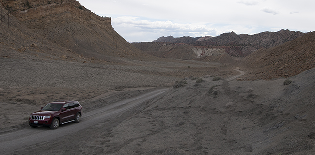
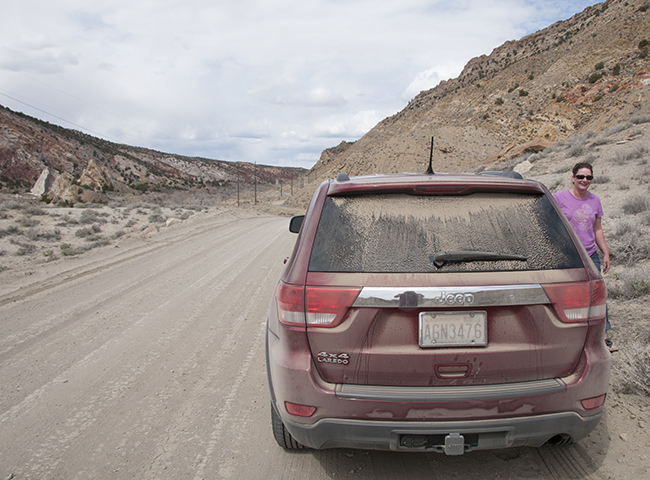
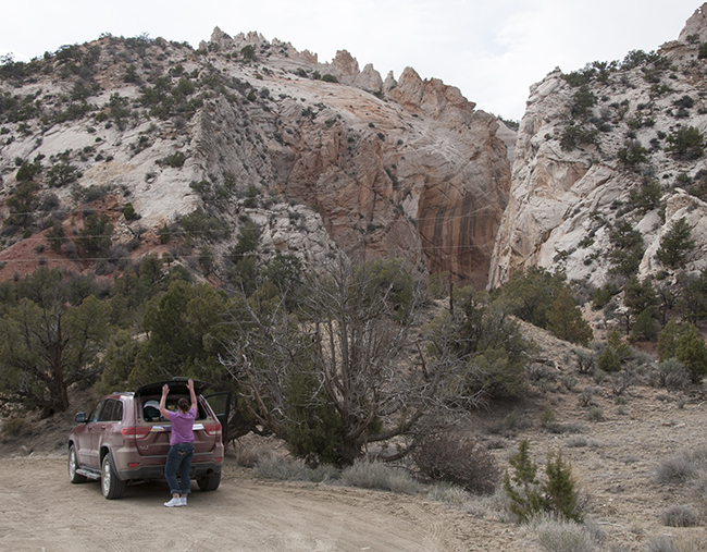
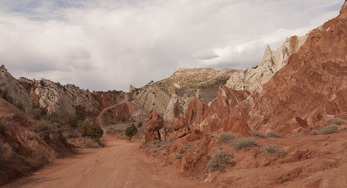
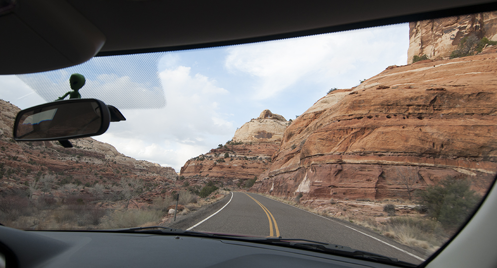
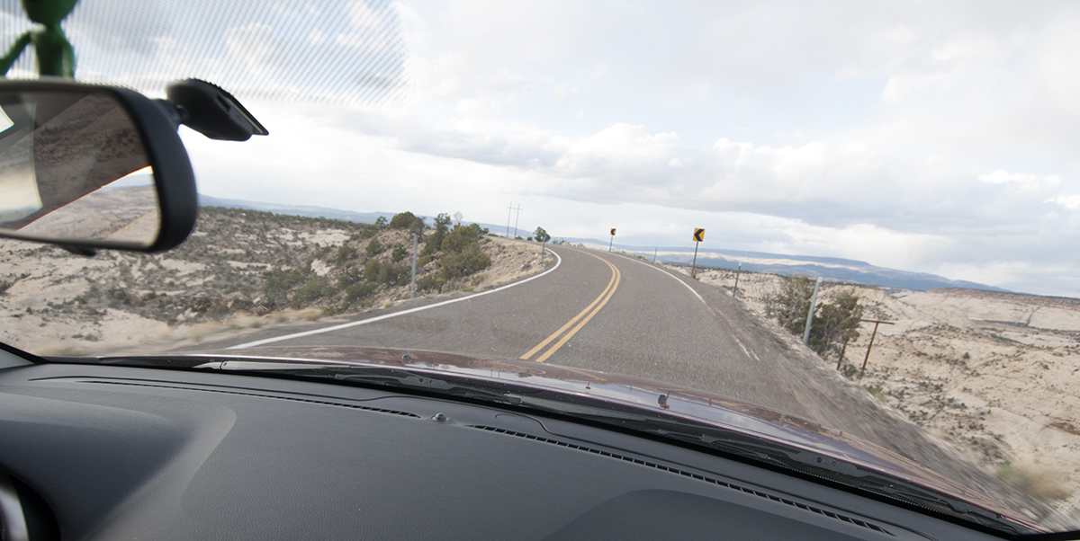
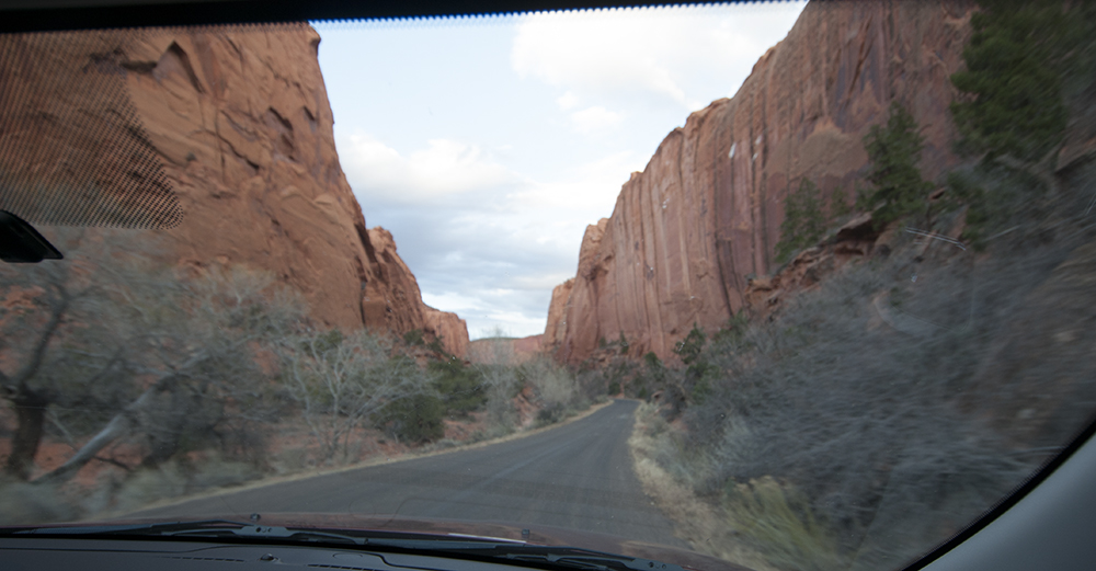
Once that adventure was over, we were off to Cottonwood Canyon Road, which turns north from highway 89. I won’t bore you with details. The road is dirt and the terrain varies wildly. Lots of tight turns, hills, and dust. Don’t drive it when wet. It is just under 50 miles. It rocks! Here are some pics.
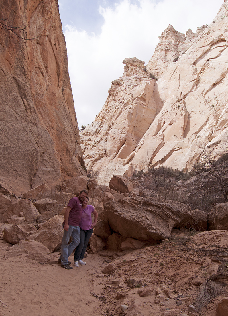
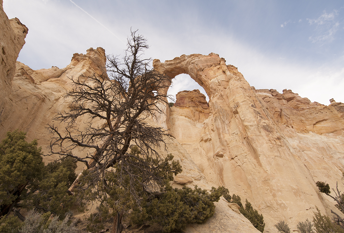
Grovesnor Arch is near the north end of Cottonwood Canyon Road
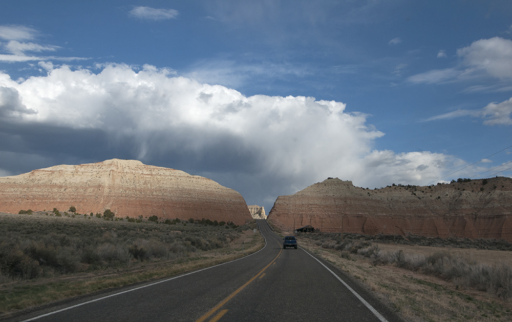
We had planned to spend the night at Kodachrome Basin State Park, but it was full (Saturday night and spring break in Utah – bad combo). So, we hit highway 12 and headed north to Escalante. I love highway 12, especially the area between Escalante and Boulder. It is my favorite drive in the US. Amazing scenery!
Unfortunately, all the parks we stopped at were full. We could have gotten a motel room, but Ann wanted to camp. So dammit, I was going to find her a place to camp!
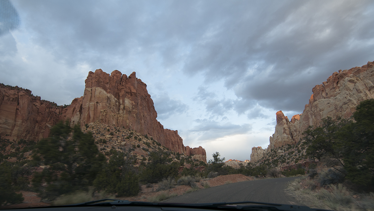
Having run out of Park possibilities (it was nearing 7pm and the sun was dropping fast), I had to locate something soon. Therefore, I turned to my backup plan. We would turn off highway 12 at Boulder, UT, and take another favorite road of mine the Burr Trail. Here are some Burr Trail pics:
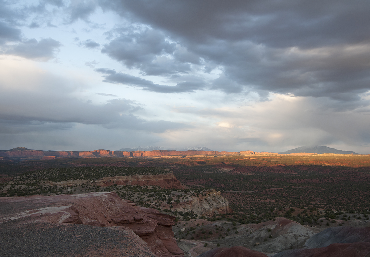
Below this overlook, the Wolverine Loops goes from left to right.
From the Burr Trail, we would take a rough dirt road called Wolverine Loop Road and find a place somewhere deep in Grand Staircase-Escalante National Monument to camp.
Naturally, my memory being what it is, it took us twice as long as I thought it would to reach a trailhead where we could camp, but we made it just after sundown. To Ann’s credit, she took everything in stride. I like her.
The next day we planned to drive back to highway twelve and head north. Of course, we changed our mind and did something completely different. More on that adventure tomorrow.
<– Day 12 – March 29: Holbrook, Arizona, and Route 66 | Overview | Day 14 – March 31: From Wolverine Loop to Cathedral Valley –>
Wonderful photos 🙂
Wow, Panhandling in front of Safeway.. Sounds like Page is going downhill. It is a great parking lot for skateboarding though. Just as long as there aren’t any tourists or jeeps in your way. That slope means you can definitely get up some speed. I spent many an hour in that parking lot waiting for fares in the local taxi I used to drive there. By the way I bought my first jeep in Page..I also went downhill from that jeep!
Sounds like Cottonwood canyon was a worthwhile detour for you. Thanks for the report!
I like her too! Yes, Ann takes wonderful photos. Thanks.
The Safeway parking lot was buzzing with lots of activity. Four tour buses were parked in it. An indian fry bread stand (one of the nicest and busiest we saw on the trip) was working the crowd pretty well. If you were going to be panhandling, that was the place to do it.
The wine from the broken bottle was running down the parking lot hill, so I’m sure you can picture that.
Otherwise, Page looked pretty vibrant in comparison to other small towns we drove through.
is sam in AZ or CA? your story on him says AZ but this story says CA.
Thanks Frank .. AZ. I’ve fixed that.
You are good with the details, great pictures and it looks like you two (3) are having fun. Thanks