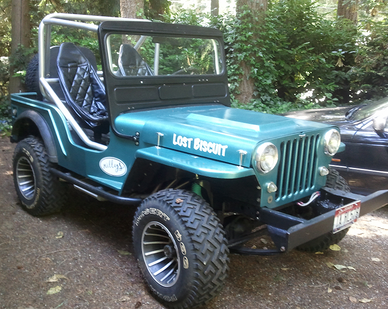
Doug contacted me tonight. He and some friends will be making a trip up to Idaho City to do some Jeeping. I drove above Idaho City last year in Biscuit and there are some fun places to explore. I only got lost once. Below are the details. Btw, take the bear and mountain lion and heard wolf warnings serious!

Idaho city
“There are a few Willys owners here in the Boise area who are taking a trip this next Saturday, Oct 15. Several of us met up about a month ago and made the trip to Idaho City. We had 2 CJ3Bs, a M38A1, M37 and M35A3, it was really cool. This will be our second trip and the last one for the year.
If there is anyone interested but cannot make this trip, they can contact me at: willysjeepcj3b@gmail.com and we will get them added to our email list.
Old Jeeps and military vehicles: join us for a drive on the Boise National Forest, Saturday, October 15. Travel will be on public roads in and around Boise N.F. Family and friends welcome.
Trip plan: Depart from Reserve St. alongside Fort Boise City Park in downtown Boise at 9:00 a.m. sharp. Travel up Shaw Mtn/Rocky Canyon Road #260 through the foothills to Robie Creek/Clear Creek Road #261, then Grimes Creek Road #364 to #307 and take 307 into Idaho City. Todd lives on the Hwy. 21 side and will be meeting us at the jct. of #260 and #261, so anyone coming from that side can do the same. Idaho City has a long and interesting history.
Here’s a link to the C of C website. http://www.idahocitychamber.com/ Gas and grub at Idaho City, then backtrack to Pine Creek Road #366 .
If time and weather permits, we’ll go up Pine Creek Road to Shafer Butte, circle Bogus Basin Ski Area, get on #275 below Bogus and take it back to Rocky Canyon Road. Total distance, including the Shafer Butte section, will be approx. 100 – 120 miles. Elevations will be between 2500’ and 7500’. Highway 21 is nearby in case you need to leave early.
Maps? There are many roads in this area, some public, some private, some with travel restrictions. The Forest Service office on Overland in Boise (next to Walmart) has two types. There are black and white “Motor Vehicle Use Maps”, one for each of the 5 ranger districts on the forest. They’re free, get all 5. They contain info on this year’s travel restrictions. You’ll need the Mtn. Home and Idaho City maps for this trip. They also have a large, color “Travel Map” for $9. It’s over 10 years old but gives a good overview of the entire forest. Todd, who lives in the area and travels it often in his 3B, has noticed that the forest maps aren’t always complete, so he uses topos too.
A final note: Todd also reminded us that he’s seen bear and mountain lion and heard wolves while travelling in this area. There was a mountain lion attack near his house last week.