<– Day 1- March 18th-19th: Phoenix Az or Bust! | Overview | Day 3 Part II – March 20th Part 2: Canyon De Chelly National Monument –>
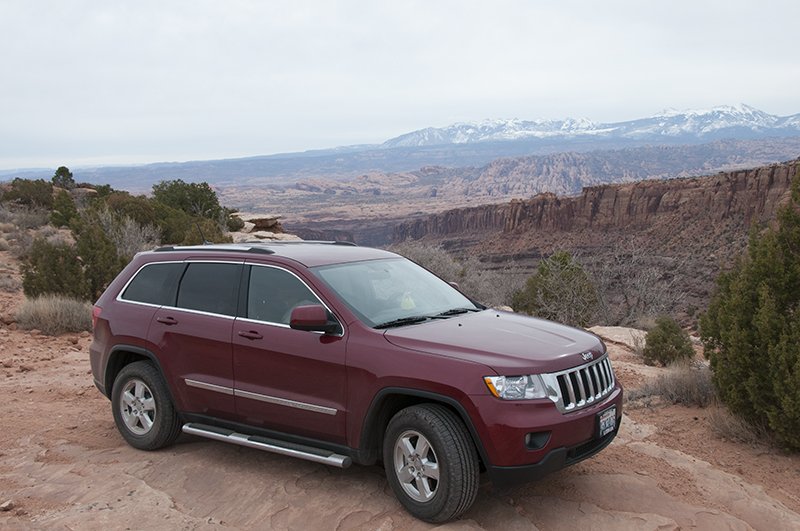
Exploring just northwest of Moab, Utah, with the La Sal Mountains int he background.
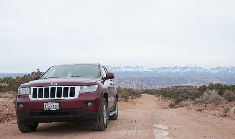
We began the morning in Moab. Our goal was to explore Moab some, then head south for Canyon De Chelly, then onward to Phoenix.
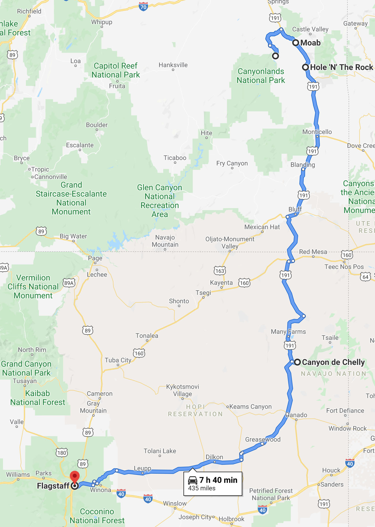
This post covers the first part of our drive, from Moab towards Canyon De Chelly. Canyon De Chelly is covered in follow up second post.
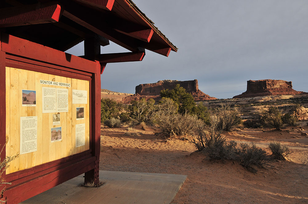
Our first stop of the day was north of Moab along Highway 313. It’s BLM land were I used to camp when visiting Moab. I’d throw a sleeping back on the slick rock and sleep under the stars. That was back in 2000-2003. Now, this area is closed to camping. It is one of the downsides of the rise in tourism in the area.


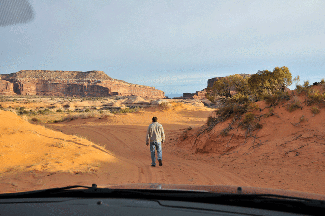
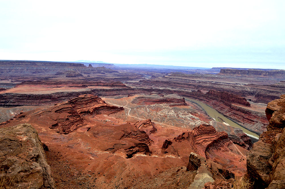
Next, we continued along Highway 313 toward Dead Horse Point State Park. It’s has amazing vista overlooking Canyonlands National Park, with it’s twisting, turning rivers wriggling amongst a vast rocky landscape. The views are incredible, even on a cloudy morning. I’m sure on a sunny, cloudless morning, the rock would be a bright reddish-orange.


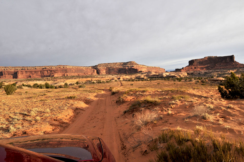
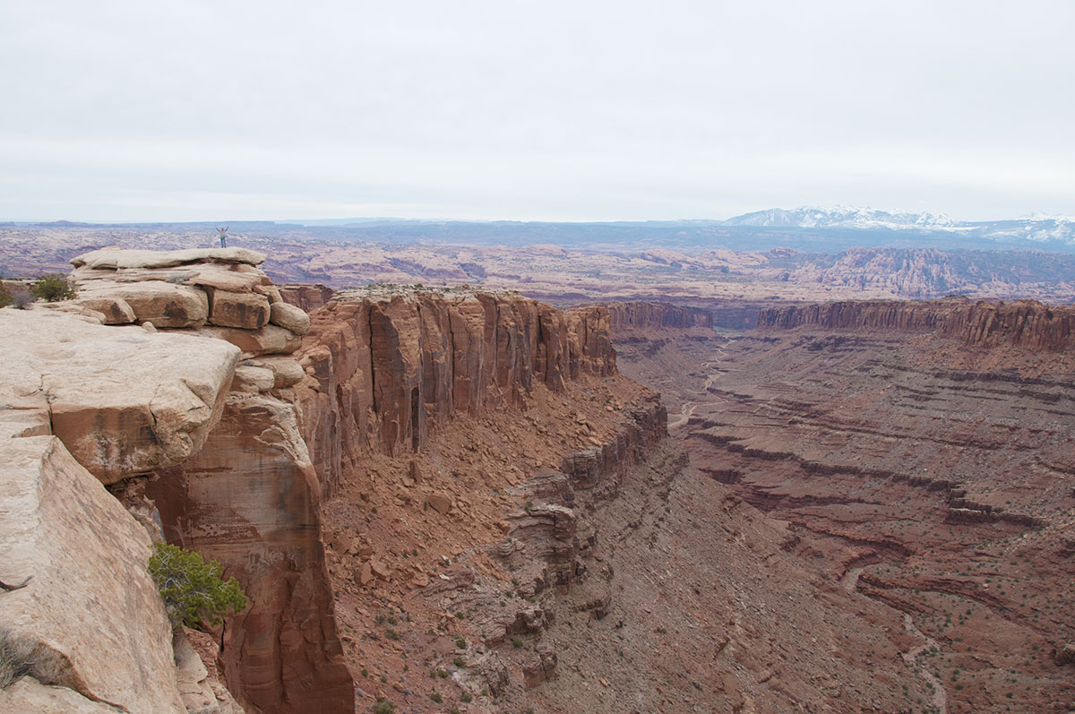
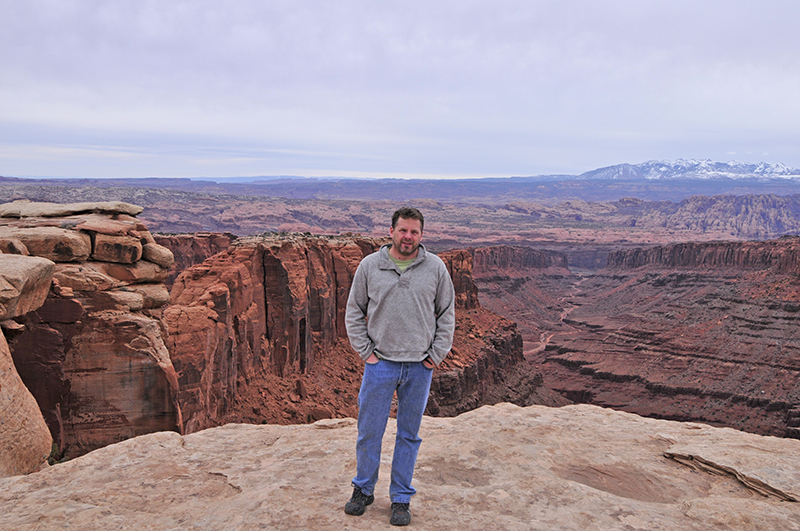
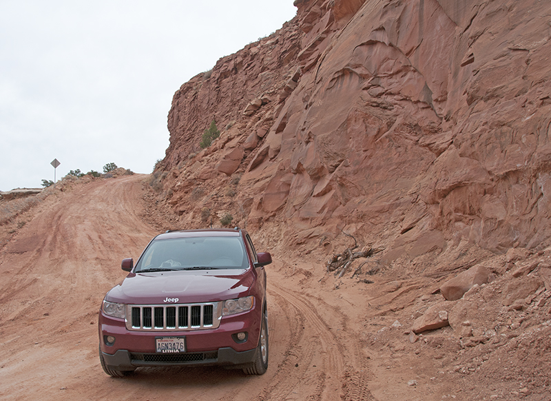
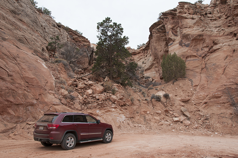
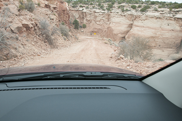
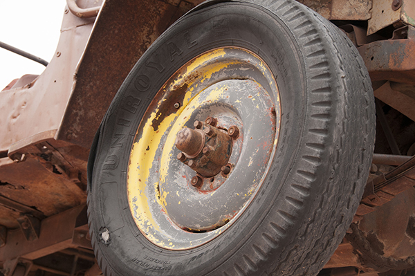
After the visit to the Dead Horse Point, he ventured off road, exploring some of the rougher terrain. We found a few cool spots to stop and take some photos. In the first pic below, you can just see me off to the left, high above the canyon below.
After exploring some, we found our way back to Moab, as we still have quite a ways to go today.
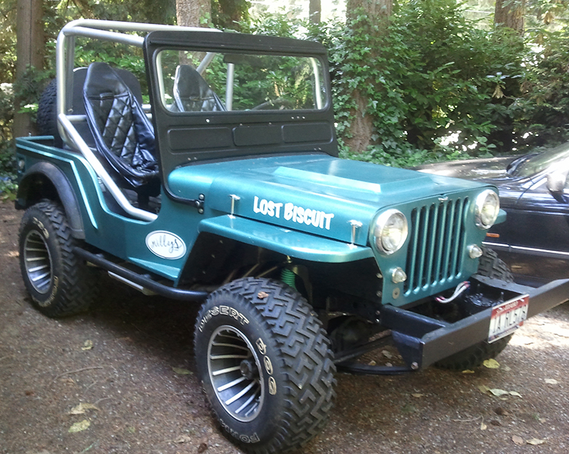
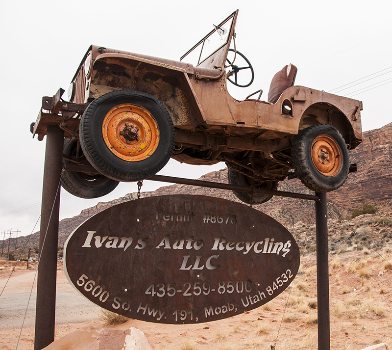
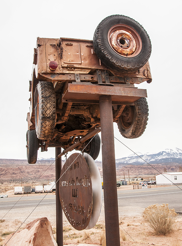
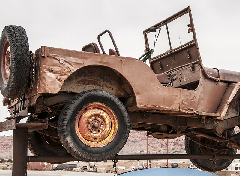
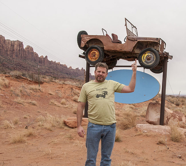
South of Moab a few miles, we spotted this jeep, one that has become a permanent fixture. It hovers above Ivan’s Auto Recycling Sign. I’ve seen pictures of it, but hadn’t done a closeup inspection. It turns out to be a CJ-2A with three data plates (though the plates themselves are gone). It might also have had indents, but the driver’s side is so hammered, I can’t positive tell if it did or didn’t.


This photo was my Ann’s idea . . .
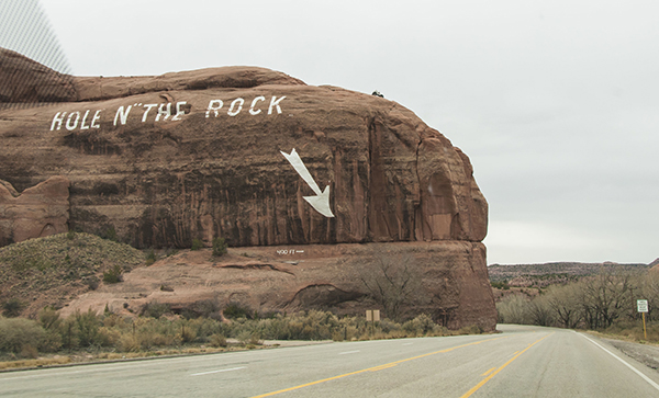
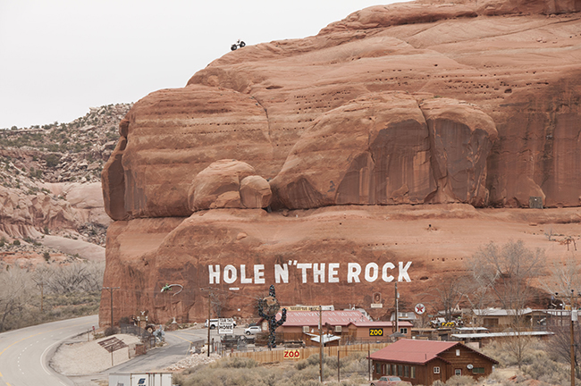
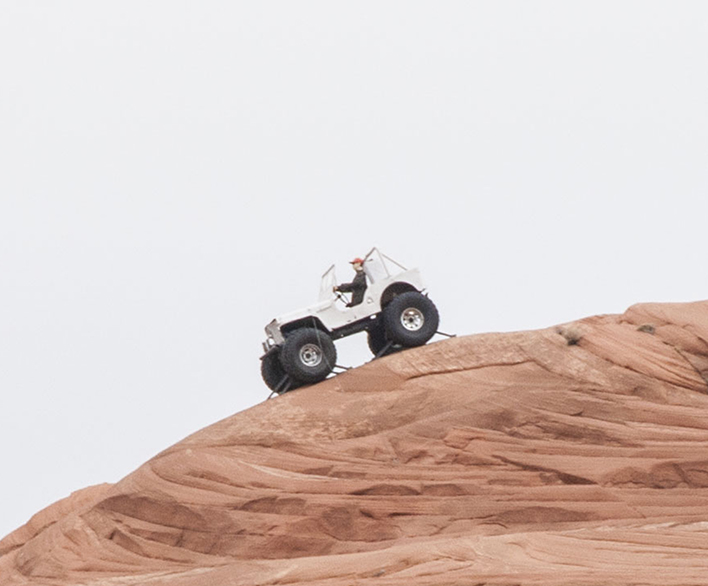
The trip out of Moab is beautiful, as the drive south along Highway 191 takes you through some beautiful red rock scenery. At one point, right after a lovely curve, look to the rocks above and you’ll see a jeep way above the scenery: welcome to Hole ‘N’ The Rock.
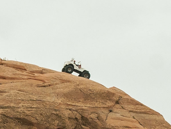
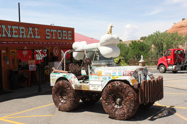
Though we were curious enough to take photos from the highway, we were too busy hurrying south towards our fateful encounter with Canyon De Chelly. While we took some good photos, we missed getting a photo of the “license plate” jeep sculpture, which sits in the parking lot of the convenience store. I always wondered where that sculpture was. Next time, we will stop and check it out more closely. In the meantime, you can learn more about this tourist trap from these travelers.
This is the view from the north side:
From the south side:
And here is a nice shot of the License Plate Jeep sculpture:
Since Day 3, March 20th, was so busy, I’ve divided it up into two days.
PART II
Ann and I arrived in Mesa, Arizona, yesterday after a night of camping at Natural Bridges National Monument and a long day of driving through the desert. After a couple of margaritas and the ‘chuletas con chile rojo’ from Nandos last night, I was done for the day. So, rather than updates last night, look for some some updates in a few hours after I catch up on email. In the mean time, enjoy a few of the pics we took on our way through Utah.
On Tuesday one our first stops of the day was at Goblin Valley State Park. If you’ve ever seen the movie Galaxy Quest, then you’ve seen some footage of this unique park.
As Ann and I walked around the park, we spotted an opportunity for our own unique photo op.

After spending the night at Natural Bridges National Monument, we spent two hours touring the park. We didn’t see another car or hiker the entire time. I joked that I had rented the park for Ann for the entire morning. At Natural Bridges we hiked down to the oldest of the three bridges, Owachomo, and shot this photo.

Here is an iconic shot at Monument Valley. I always thought this was in Northern Arizona. It turns out it is just south of Mexican Hat, Utah, and just north of the Arizona Border.

<– Day 1- March 18th-19th: Phoenix Az or Bust! | Overview | Day 3 Part II – March 20th Part 2: Canyon De Chelly National Monument –>
So you just going to leave us hanging about your experiences at Canyon De Chelly???
Sorry about that . . . I got as much done as I could this morning. We have to check out of the room. Stay tuned!