<– Day 3- Friday March 11th: Dining in an Ely Jail | Beginning | Day 5 – Sunday March 13th: Camels & Cones –>
Good thing I was there to keep her from getting beamed up! I’d miss my travel partner.
Today we drove from Ely to Laughlin (see Yesterday’s post). We hadn’t planned to go that far, but hotels/motels in Vegas on Saturday night were expensive, while Laughlin was dirt cheap. And, since we’d never been there, we decided this was the opportune time!
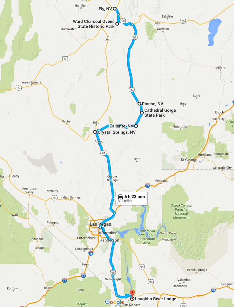
We drove from Ely to Laughlin.
Our first objective of the day was a visit to the Ward Charcoal ovens. To reach them, we drove south on highway 50, a road that spans the width of Nevada and once called the loneliest road in America by Life Magazine. Just past Ely, we turned onto a dirt road and followed it for ten miles or so. As usual, when we arrived, we had the place to ourselves.
The ovens were constructed in the late 1800s to turn wood into charcoal for fuel in nearby smelters. When coke replaced charcoal, they were then used as, among other things, places to stay for sheep herders and cowboys. Finally, the area was turned into a state park. The ovens were much larger and in better shape than the one’s we’d seen yesterday in Utah.
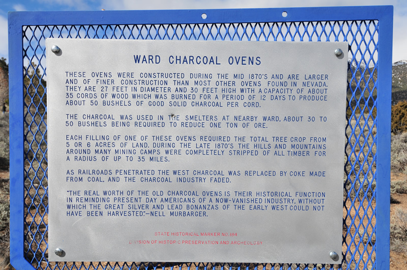
History of the ovens.
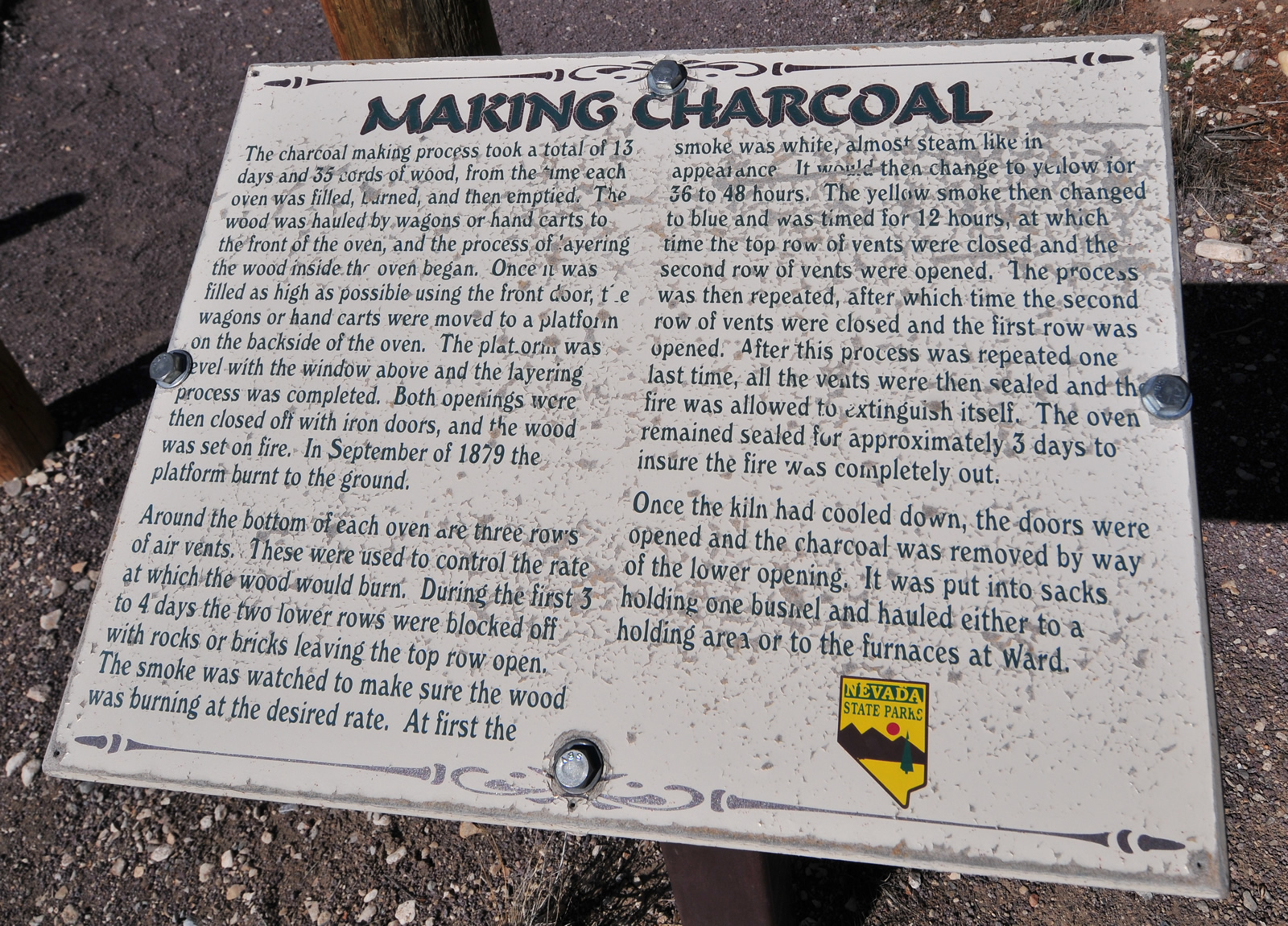
How they make charcoal.
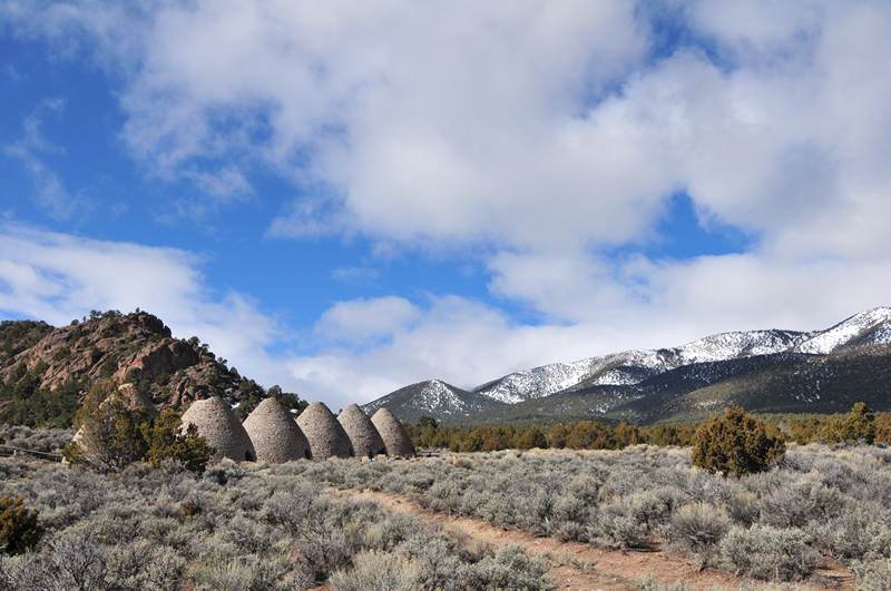
The six ovens all lined up. The setting was georgeous.
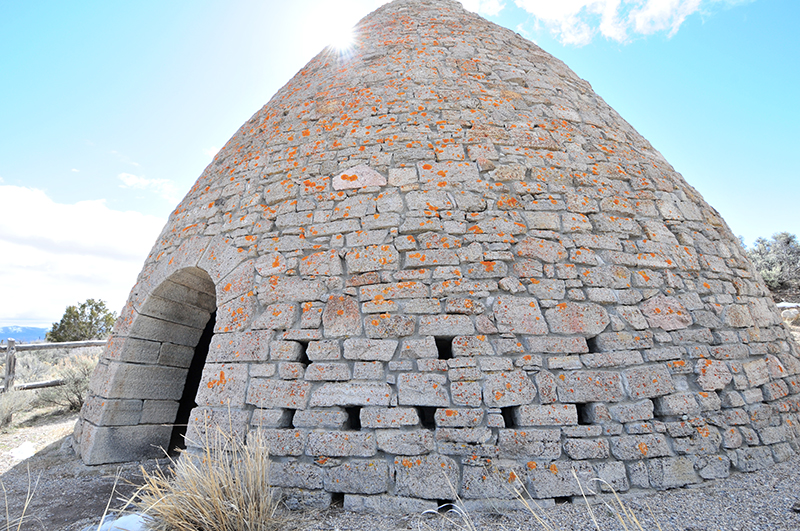
The entry is about six-feet high. The holes in the side allowed workers to control the air flow. A steel door used to be on the front of the oven.
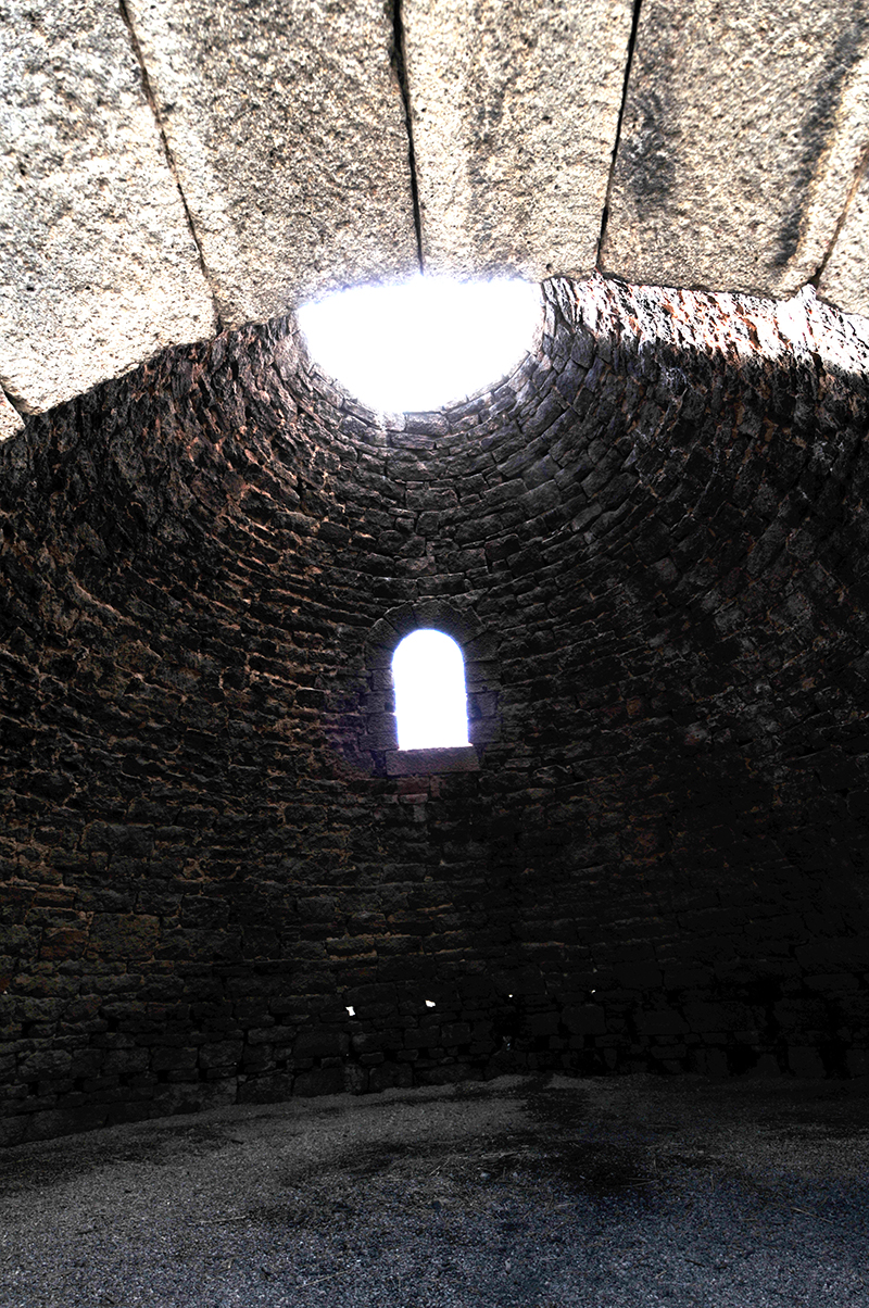
It was hard to get a good photo of the interior, but I bet it was cozy place when the weather was bad. Best of all, you could have a fire!
From the ovens, we drove south on Highway 50, then turned onto Highway 93, also known as the Mormon Trail. We drove for more than an hour; it’s a lonely road that rivals Highway 50. It follows the valley south. Along the way we saw multiple entrances for the Silver State OHV Trail, a place with hundreds of miles of off road trails. We didn’t explore any, but it looked like a fun place to motorcycle/jeep/ATV.
Eventually we arrived at the small town of Pioche, a mining town dating back to 1864.
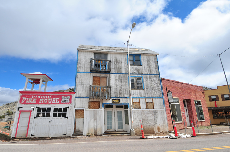
Firehouse building from 1864. The red building was of a similar vintage and was a business community hall/club at the time.
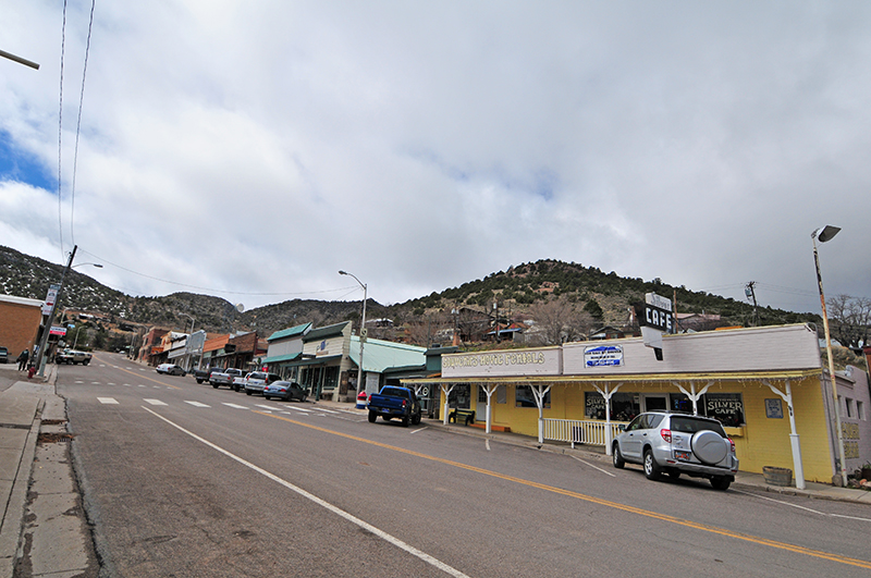
This is downtown PIoche. Yes, the road climbs, but not quite as steep as the photo suggests.
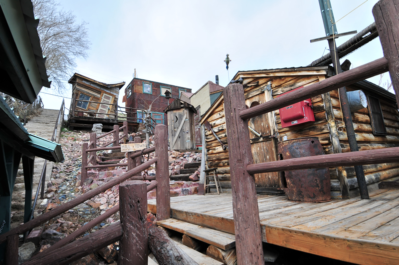
We weren’t sure what this was. It appears to have been some kind of old, pretend mining camp, but a goofy one. Maybe during the summer something happens here?
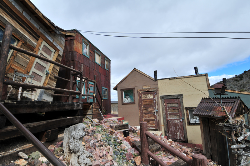
There’s a sign on the door of the Assay office. it read — Optomistic Assay: We find the silver lining. While some Assayers were professionals, others were true amateurs. Samuel Clemons wrote about one assayer in Virginia City who had a habit of finding a silver lining in all ore he assayed. So, the miners gave him some worthless rock to assay and, sure enough, he told them there was value (which made the miners laugh).
I talk about the town of Pioche (pronounced Pee-oach like poach according to author Rich Moreno) in my SLAG book and quote a Montanan who went to Pioche in 1872. The miner wrote back to his friends in Montana about how dangerous the place was. He said he was tired of carrying his guns all the time. It was the deadliest place in Nevada for a few years.
There are a variety of mines, equipment, and tailings above Pioche. We decided to investigate them, in the hopes we could find some old equipment to photograph. After a short drive, we found an old ore tram, built to haul ore from the mountain, over a ridge, and down to the valley floor. It worked similar to a ski lift. Here are a series of pics to show how far the ore was sent:
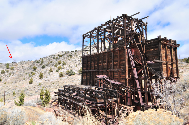
The ore started at this end, a powerhouse that controlled the cables and ore cars. Somehow, the cars were filled and they began their trek upwards to the ridge where the arrow points.
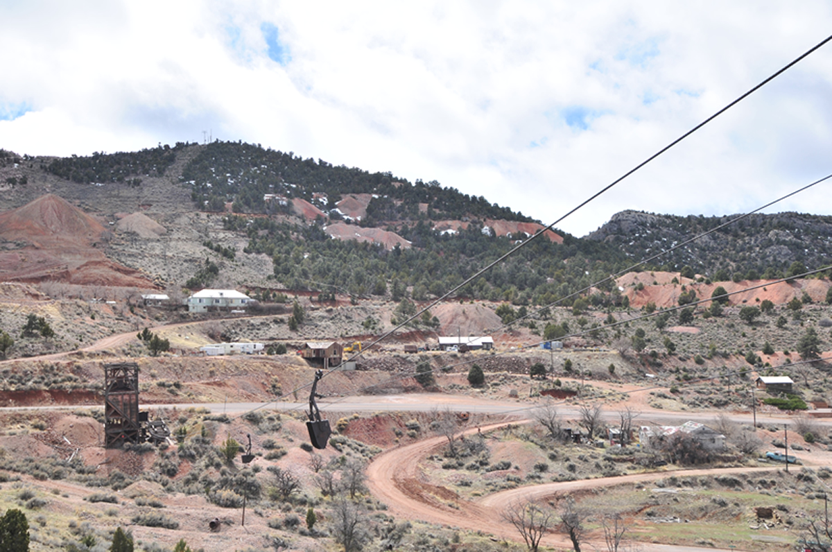
At the lower left is the building shown in the upper photo. You can see an ore car still dangling from the cable. I took the photo from on top of the ridge. In the background are numerous mines and tailings.
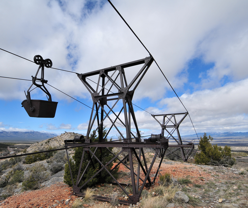
This is the top of the ridge looking toward the valley. That’s another ore car.
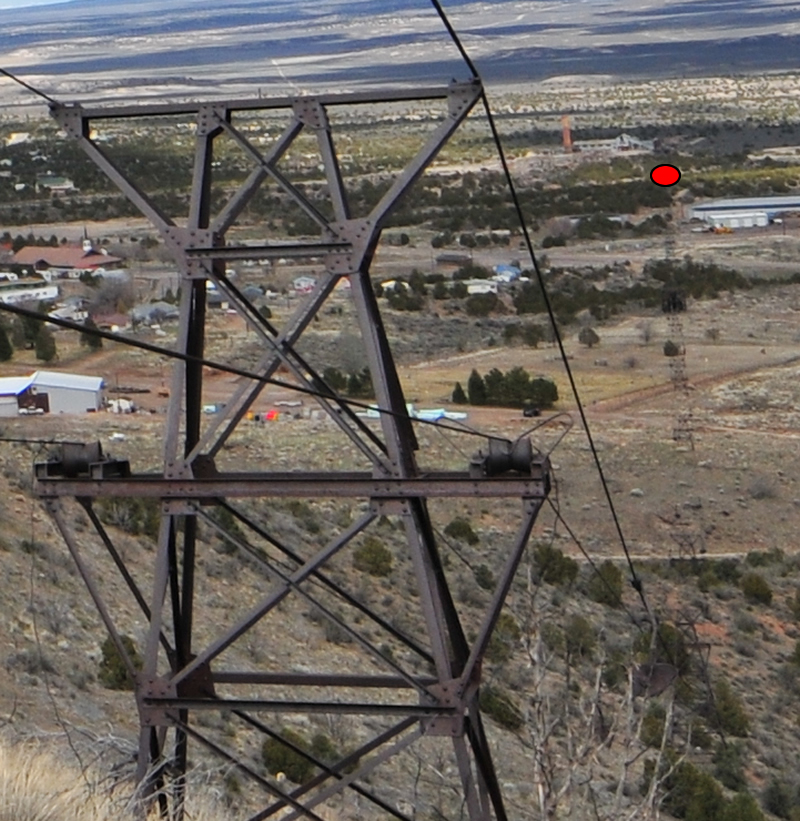
The red dot shows how far the tram extends. Pretty cool!
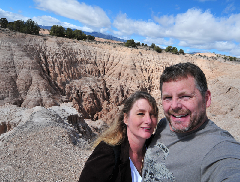
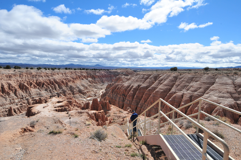
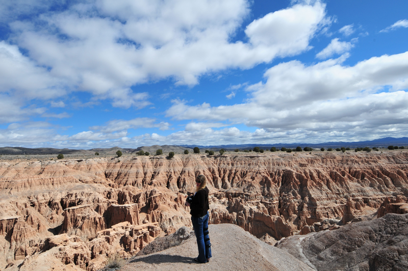
We left Pioche and the trams behind for the natural scenic beautiful of Cathedral Gorge, another beautiful Nevada State Park. Those that have visited Bryce Canyon National Park will recognize the similar erosion characteristics. While Cathedral Gorge is pretty, it doesn’t have the color of Bryce.
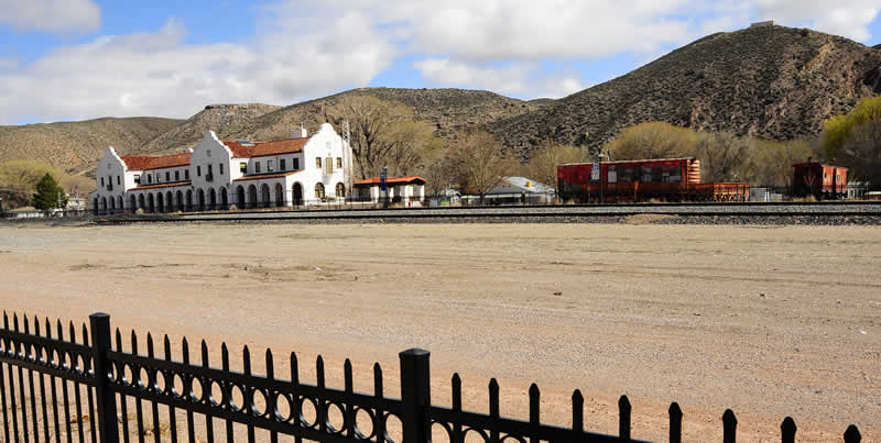
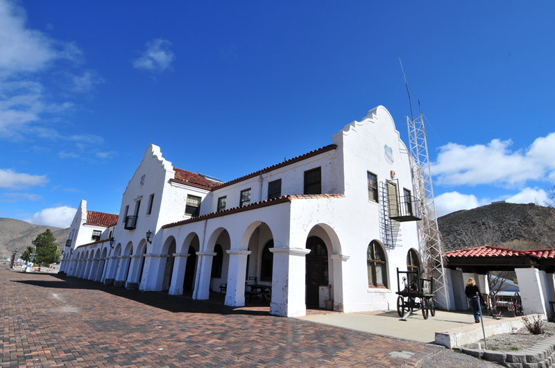
We didn’t linger long at Cathedral Gorge. Following the gorge, Highway 93 becomes an unexpectedly pretty drive. The road wound through canyons similar to drives we’ve had in southern Utah. Eventually we arrived in the small town of Caliente. There’s not a whole lot in the town, but one neat place is a former train depot that is now a town library and museum, both closed during over visit.
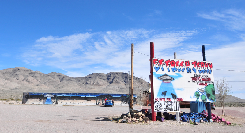
The drive out of Caliente was equally beautiful, until we left the area behind and entered another long valley that took forever to cross. We crossed several more valleys, but aliens blended time and space in such a way that we didn’t know how long that took. Fortunately, our phones got service just as the Alien’s spell wore off to tell us were were at Crystal Springs and the start of the Extraterrestrial Highway.
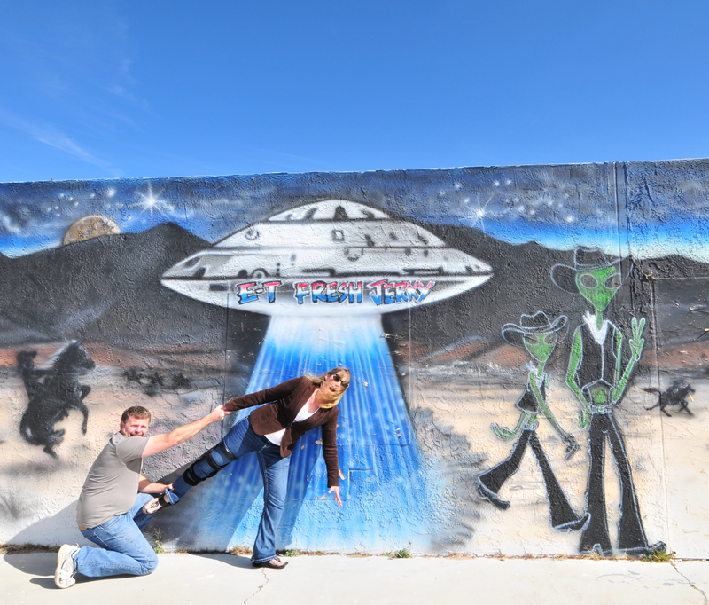
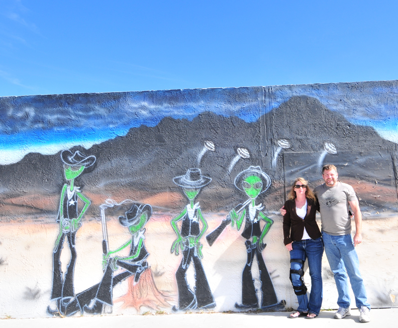
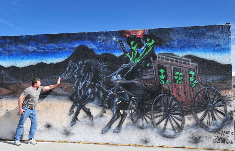
Our first stop was ET Beef Jerky where we took a couple photos:
Our next stop of the ET Highway sign, just a short drive away.
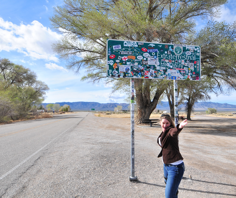
I was here almost ten years ago. The number of stickers has grown.
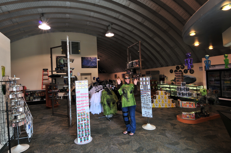
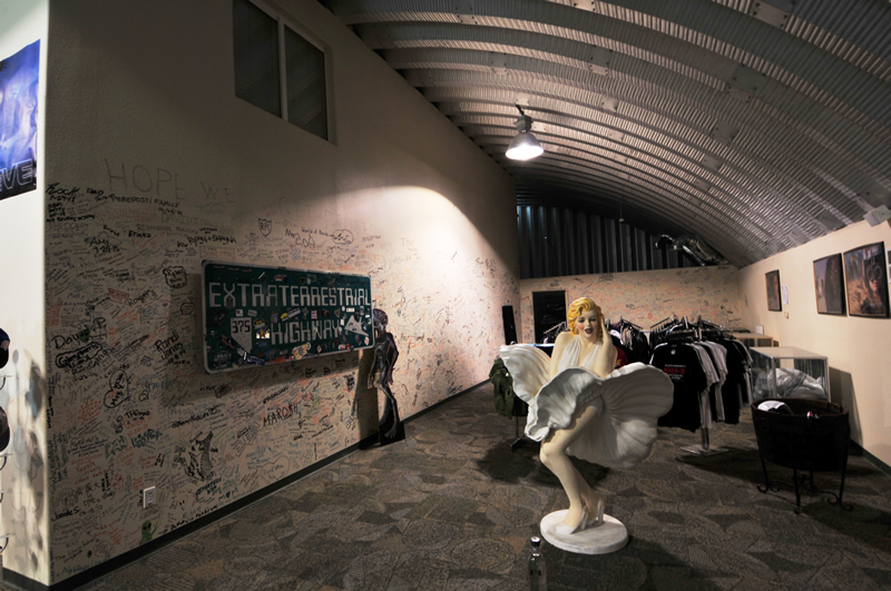
Just up the road from the sign is the Extra Terrestrial Research Center. We couldn’t resist a visit.

ET never looked so big in the movies.
The day was getting late, so we made a run south for Vegas. That’s when we discovered the high price of rooms there. So, we drove two hours south to Laughlin, where rooms were less than half those is Vegas.
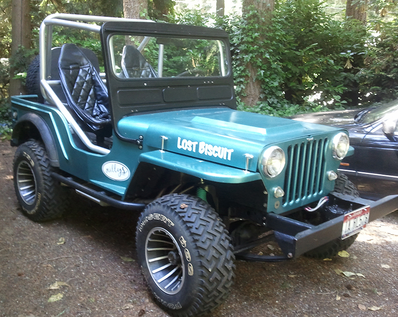
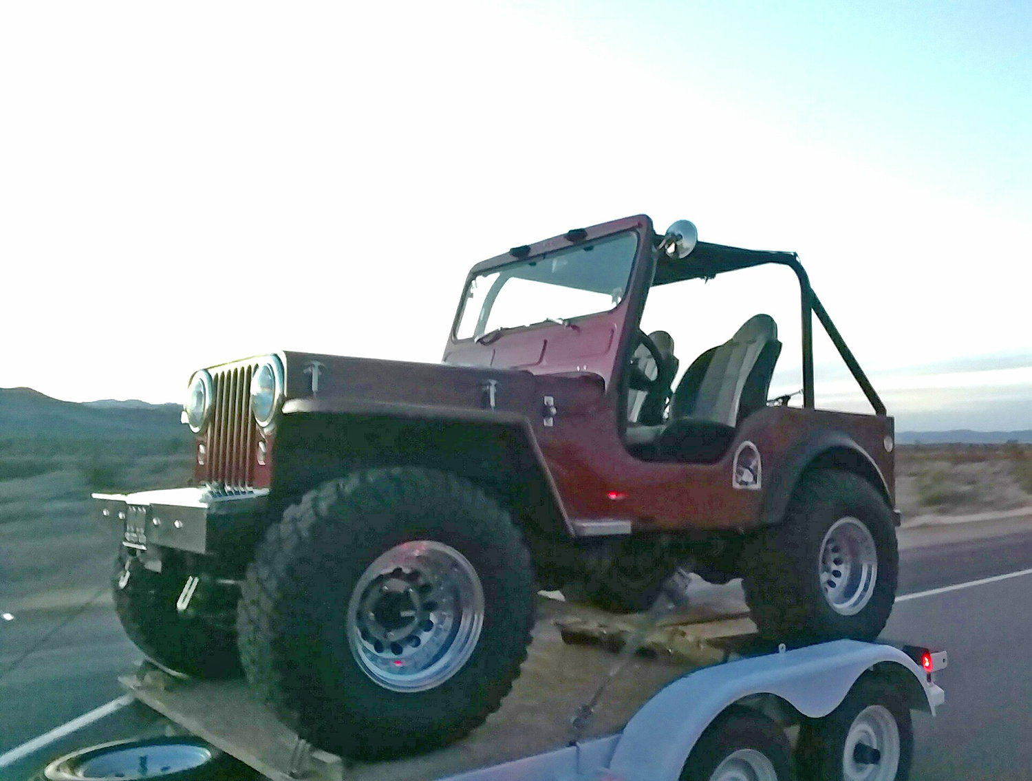
I thought I was going to have to report that we’d seen no jeeps today. But then, just as dusk was falling, we passd this beautiful flattie near Spotlight, Nevada. We were lucky to get this photo (thanks to my wife!). As we passed the owner, he honked at us. He must have realized we were taking pics. We also wondered if he was a reader and recognized our Washington plates.
Tomorrow we drive further south for Yuma. Why? Why not!
<– Day 3- Friday March 11th: Dining in an Ely Jail | Beginning | Day 5 – Sunday March 13th: Camels & Cones –>
Great stuff Dave !!! Glad you guys are having a nice trip . Love the bell bottoms on all the aliens !!! Safe travels to you both on rest of your trip
Ted
We’ve been to Laughlin also and found it much more welcoming than Vegas. They really know how to put pressure on that much over rated town to the North. We’re enjoying your travelog and hope others heed the advice.