<– Day 13 – Apr 1st: From Scottsdale AJs to Seligman Sundries | OVERVIEW | Day 15 – Apr. 3rd: Joshua Tree National Park –>
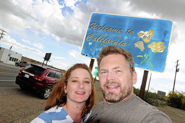
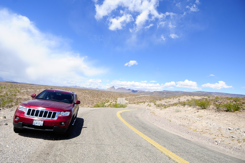
We left Arizona and entered California under a few dark clouds.
On Wednesday we began the morning by driving to the Route 66 Museum at the old power station in downtown Kingman.
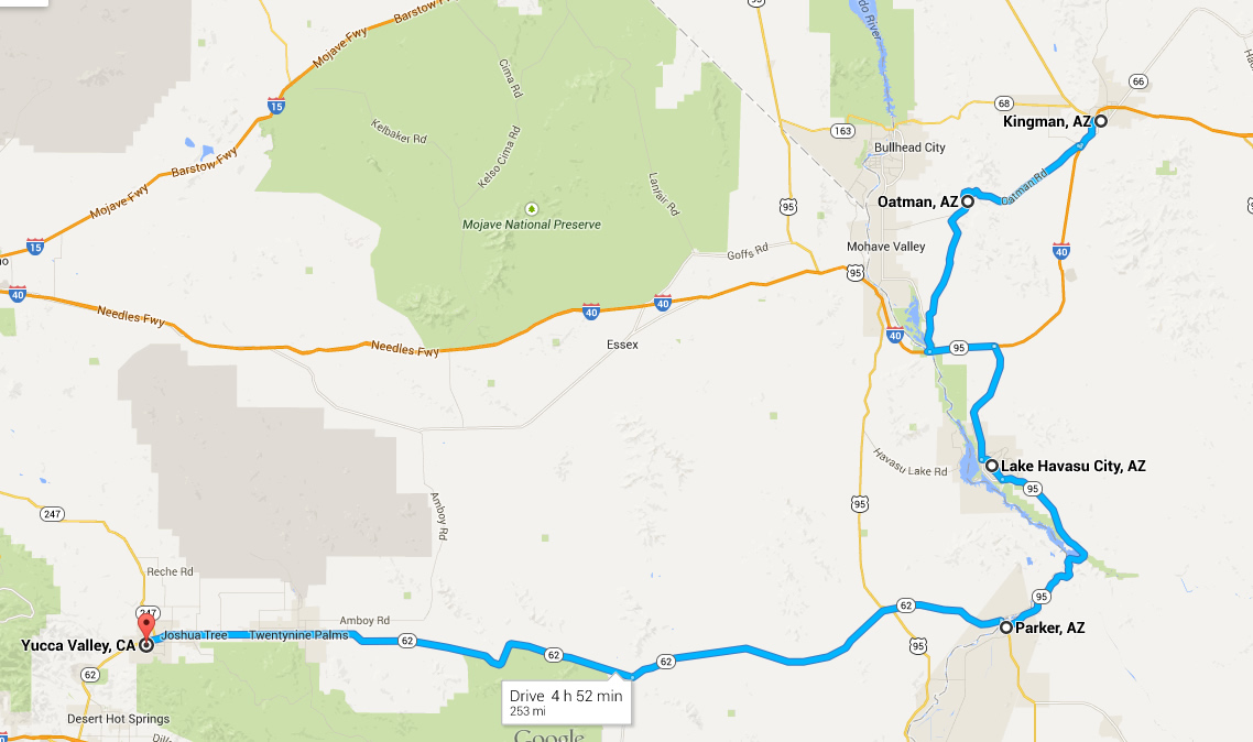
Map of our drive on Wednesday April 2
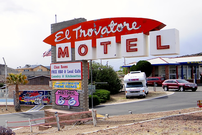
On our way, there were more classic motels, but one in particular caught our attention. There was much more going on at this hotel — murals and themed rooms — but our photos didn’t turn out very good.

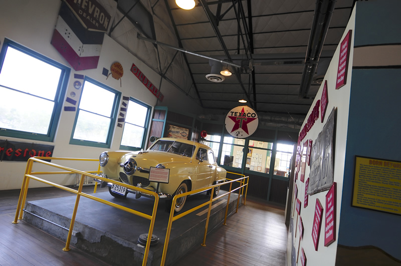
After many photographs, we finally made it to the two floor power station. Downstairs you’ll find a gift shop and visitor’s center. Upstairs is the entrance to the museum where we purchased our tickets. The cashier was an older gentleman who at first seemed gruff and bothered by our presence, but then warmed up as he got into a short presentation about how the tickets we purchased were good for three museums in the area. We also learned that active military folks get in free.
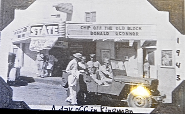
The museum tour starts with a history of the trail which proceeded the route. One of the first things I spotted was a photograph of a jeep from 1943. It’s the only jeep I saw in the place.
From there, more history unfolded: the need for good roads, the construction of Route 66, and the success of the towns following WWII, until the opening of Interstate 40 in 1984.
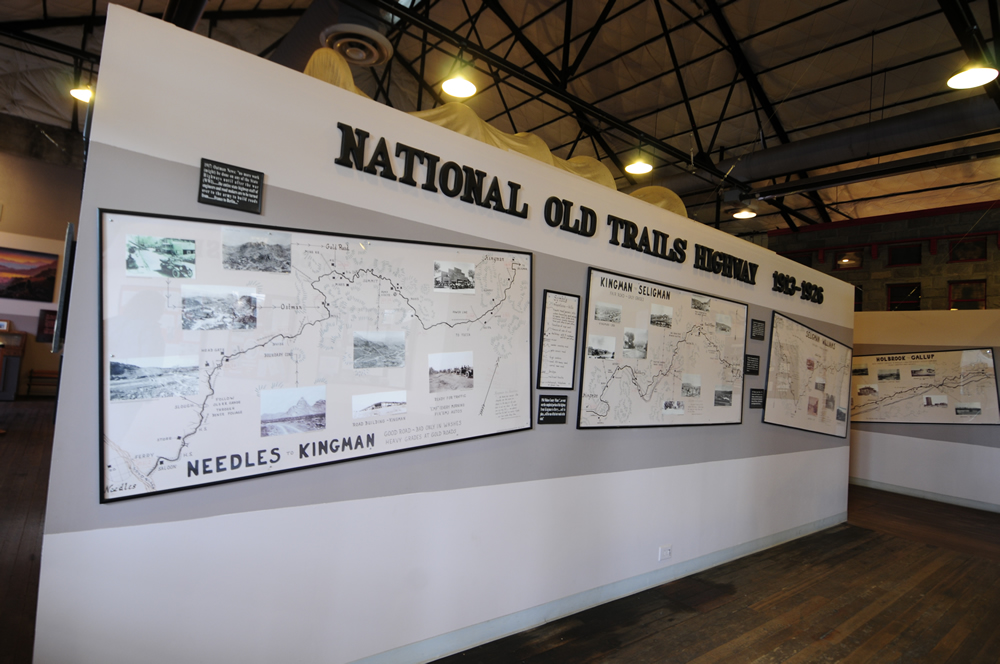
These maps showed chunks of the early highway with some interesting information.
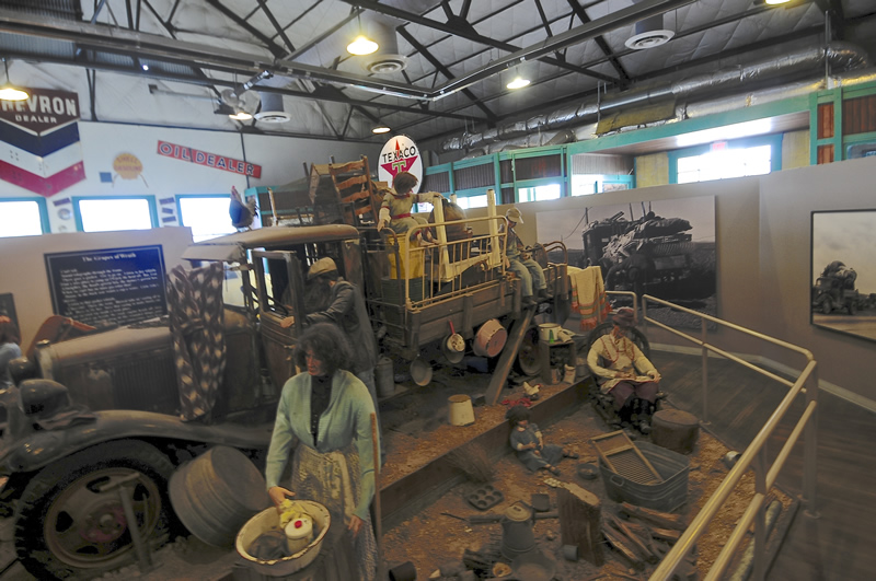
In the middle of the Route 66 history is a large diorama that shares Steinbeck’s Grapes of Wrath and his use of Route 66 in the book.
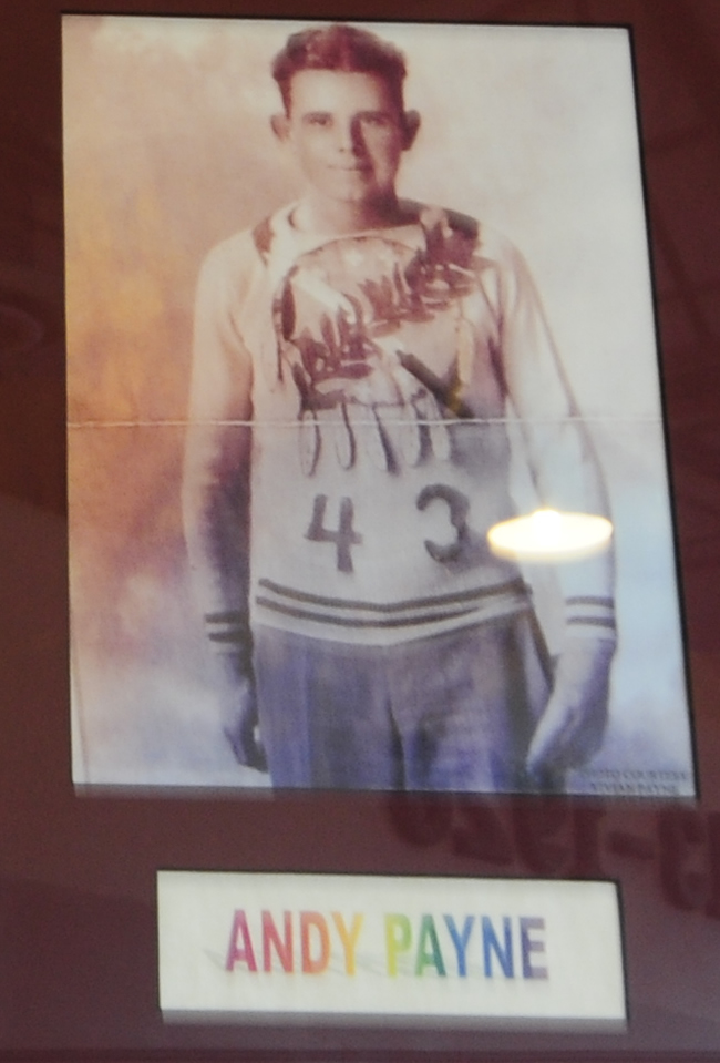
One neat bit of history we didn’t know about was the Great American Foot Race of 1928. The race was held to promote the new cross country road system and Route 66 in particular. First prize was $25,000, which was won by an unlikely and unknown runner Andy Payne.
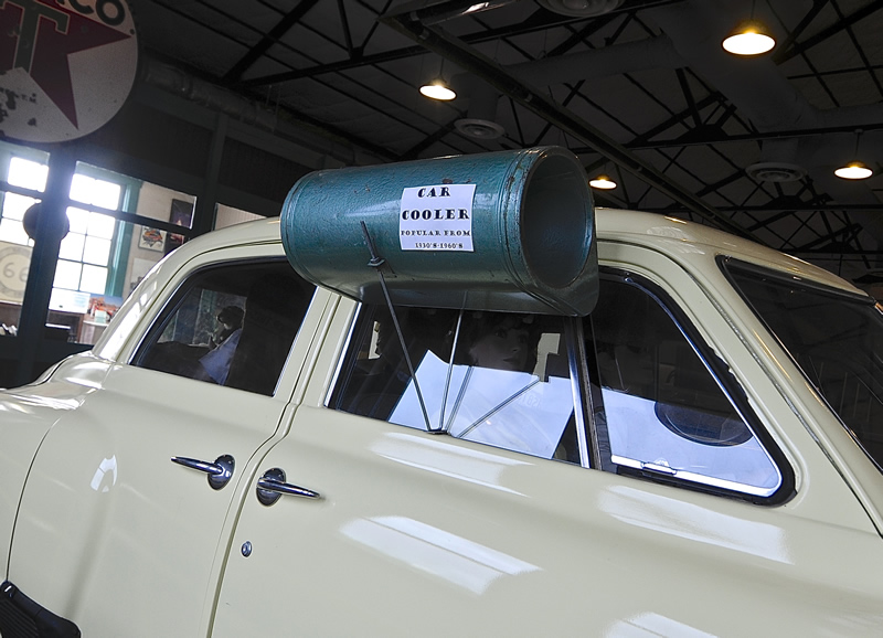
Here’s a good looking Studebaker. It also has an early car-cooler. I’ve never seen one of these, but I bet a few of you recognize it.
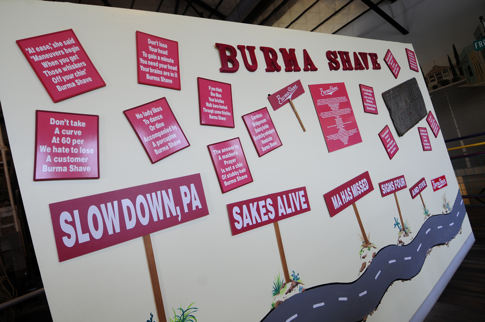
This display of Burma Shave history signs was interesting.
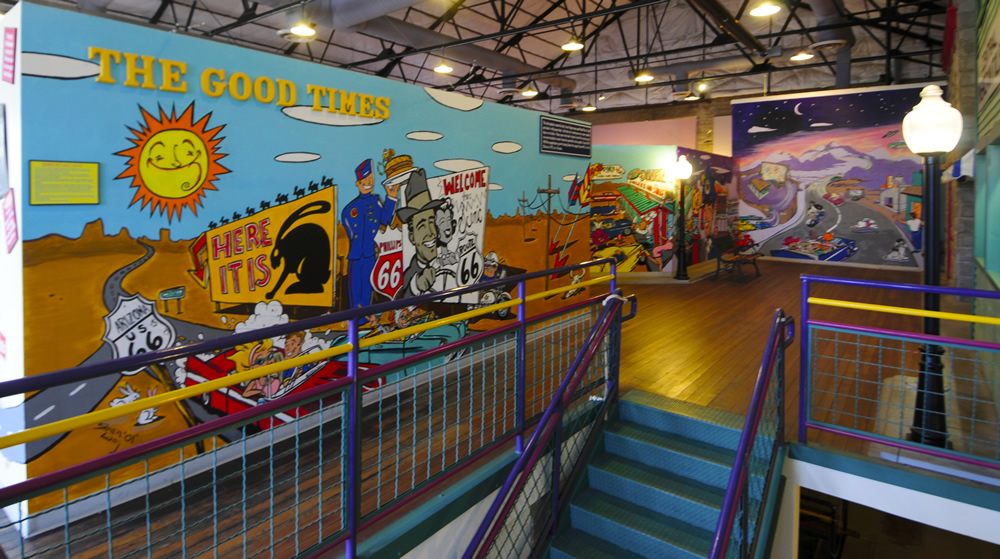
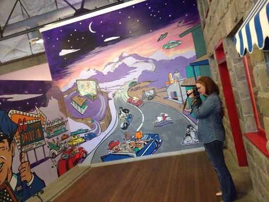
Finally, there was a section celebrating murals, which can be found throughout towns on and off of Route 66 (all over west as well).
What we liked about the museum were some of the great historical details about the road and we felt the museum was worth it just for that. The museum could have used more engaging exhibits. Except for a short video downstairs near the end of the tour, there were no sounds, no video and no activities. For all the work that went into the Steinbeck exhibit, I think a giant contiguous map that showed how the original road was laid out, where it can be currently driven, and other details, would be really useful.
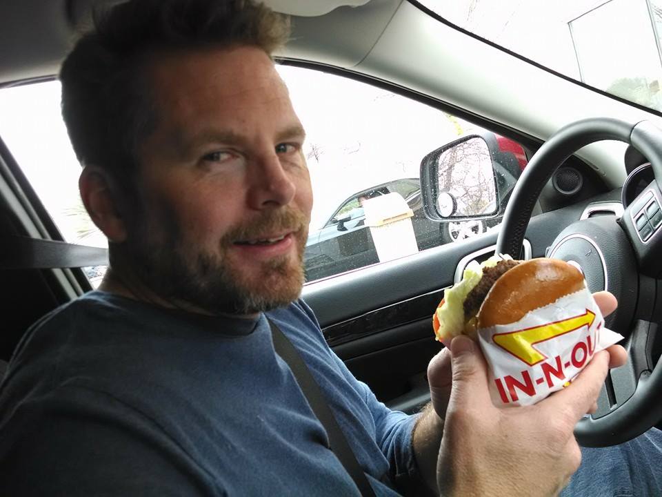
After the museum, we ran over to In-N-Out Burger so I could get my burger fix. It’s been two years since I last had one. They are still my favorite fast-food burger. If you ever get to one, and have never been, make sure you know about their secret menu so you can get your burger “Animal Style”, which is my favorite way.
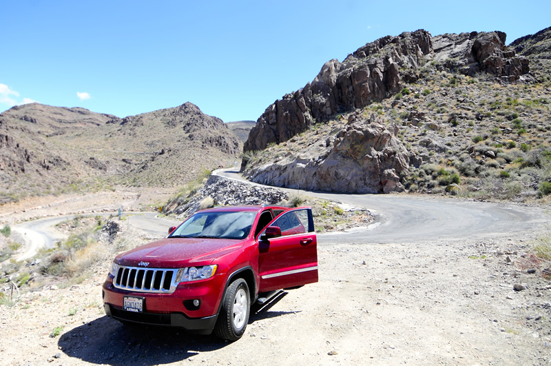
With my burger consumed, we headed out of Kingman via Route 66 with a destination of Oatman, Arizona. Colin Peabody recommended we drive this section and it was great!
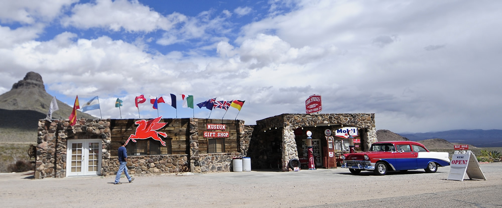
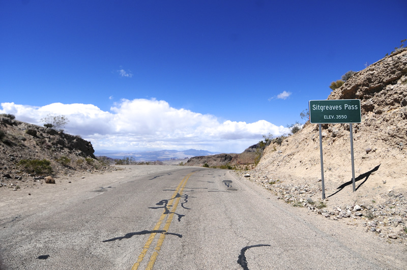
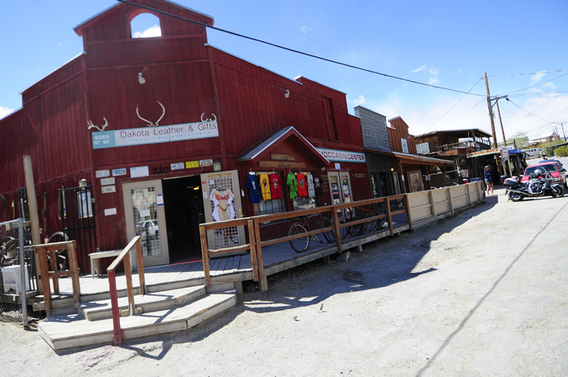
To get to Oatman, we had to climb over a pass. This small remote store was a fun little stop.
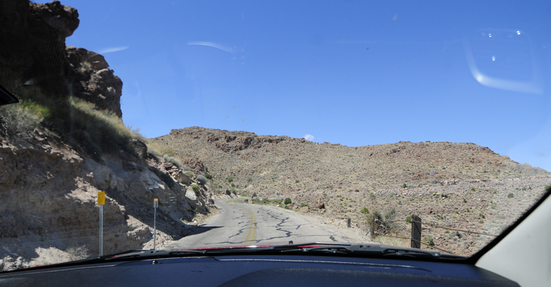
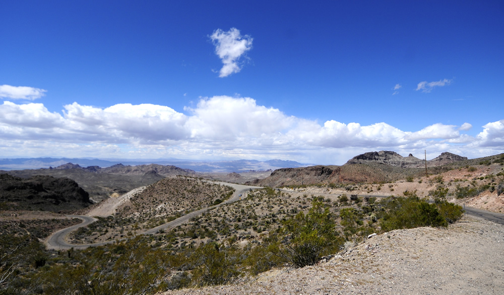
Then we headed up over the pass. There were all kinds of switchbacks.
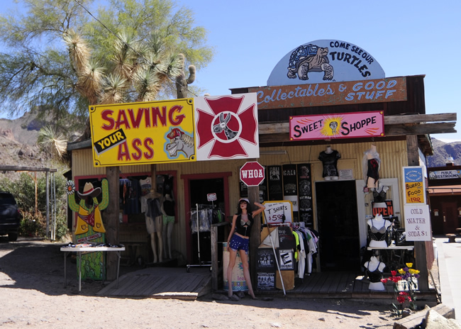
When Colin described Oatman to me, he mentioned ‘the burros’. If you ever go to Oatman, you too will likely see burros. What was most amazing about Oatman was that it was busier than any comparable place we’ve see on our trip. Oatman isn’t close to anything, so where all the people came from is a mystery to me.
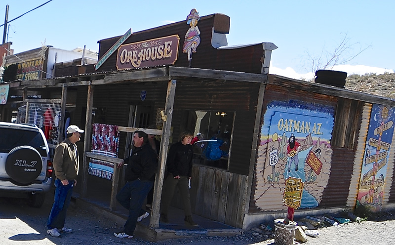
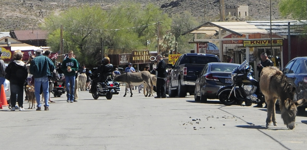
Just to remind you, this is main street and Route 66. We had to wait for all these animals and people to move out of our way to continue driving!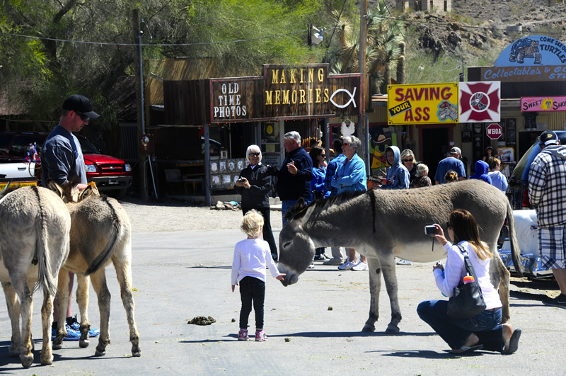
We were a little behind schedule, so we didn’t linger long in Oatman. We continued on Route 66 as it transitioned out of the mountains and onto a roller coast desert, leaving the crowded town of Oatman for a barren road surrounded by sand and sage.
We continued south until Route 66 came to a temporary end at Interstate-40. Rather than follow it into California, we drove east on I-40 and until we came to US-95, which took us south to Lake Havasu City. US-95 was an unexpected treat, a road that wound through, around and over endless uneven terrain that made the drive great fun.
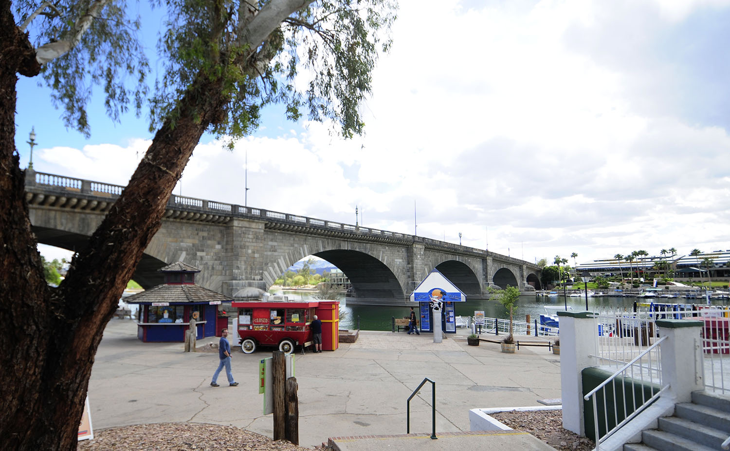
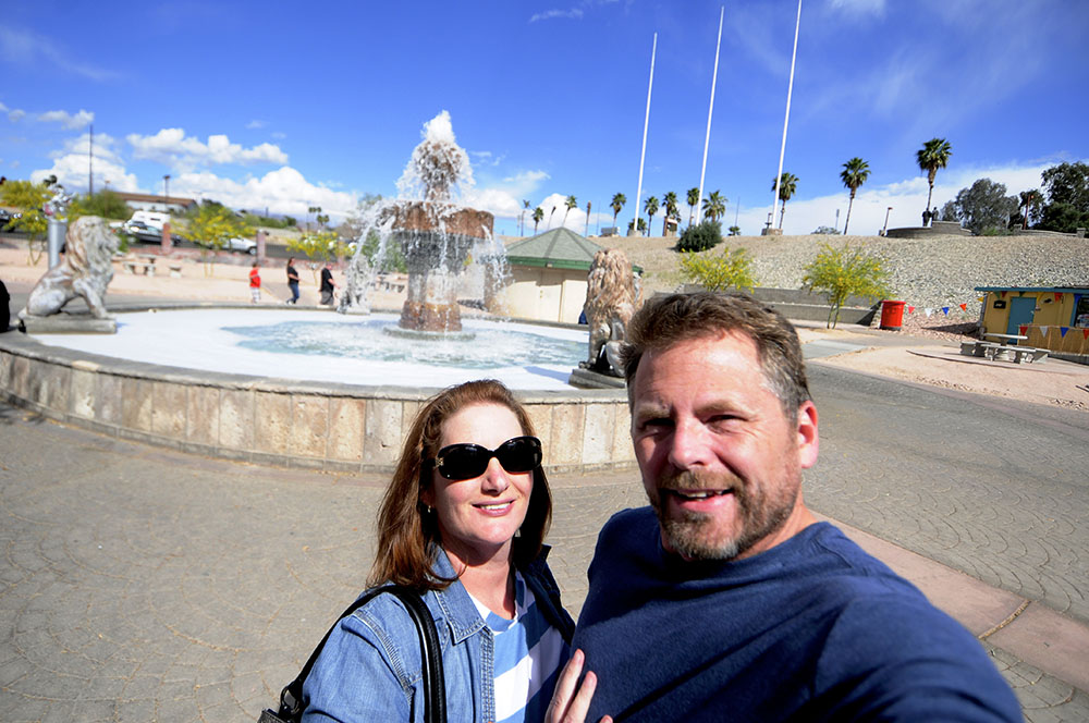
When we reached Lake Havasu City, we drove directly to our one planned stop, The London Bridge. The London Bridge crossed the Thames River until 1967, when it was dismantled and sold to Robert McCulloch, who anticipated adding it to a planned community (Lake Havasu City) that he established in 1964. The bridge was completed in 1971. I have to say the bridge is beautiful.

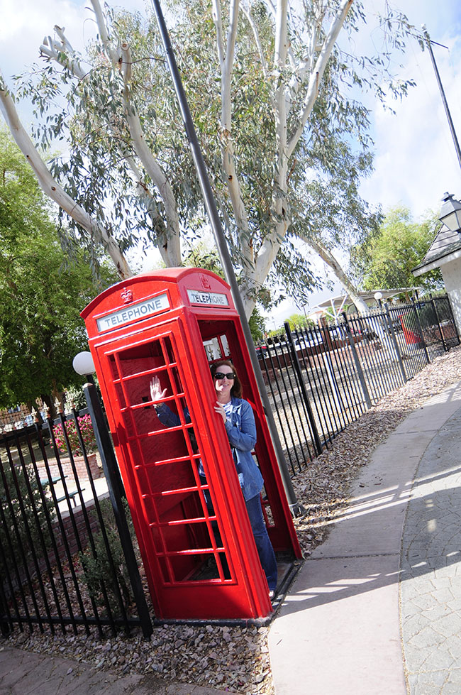
More from Lake Havasu City:
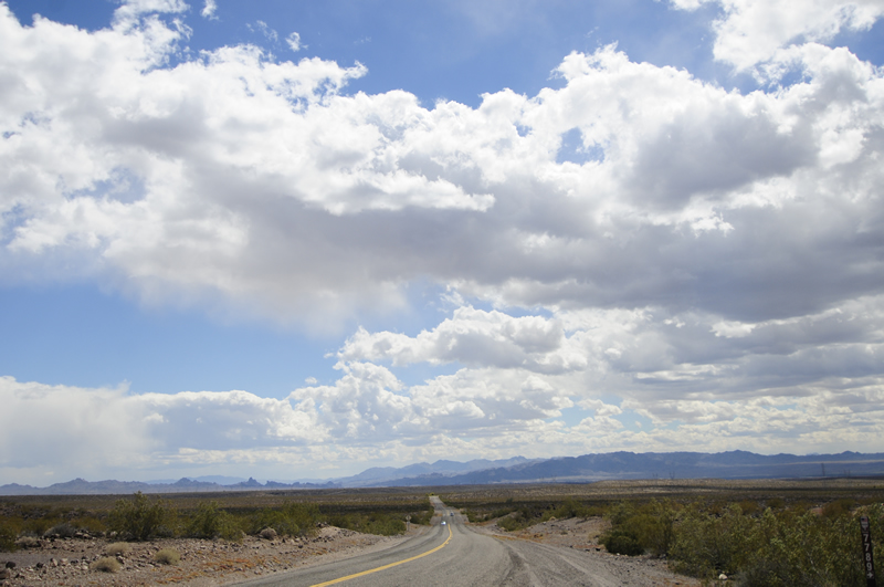
After Lake Havasu City, we spent most of our time driving to Yucca Valley, California. US-95 continued to entertain us, until we abandoned it at Parker to head west to the Mojave Desert. We eventually landed on Highway 62, driving into the wind for a hundred miles (goodbye gas mileage) and a light rainstorm. We got out once to take a photo, but between the wind and the rain, it was too cold to stand outside for long. The weather was certainly unexpected!
On Thursday we tour Joshua Tree National Park.
<– Day 13 – Apr 1st: From Scottsdale AJs to Seligman Sundries | OVERVIEW | Day 15 – Apr. 3rd: Joshua Tree National Park –>
Is the ’56 Chevy following you? It’s in your pic yesterday at Seligman Sundrie’s, too.
Cool about the burros in Oatman 🙂 We’re always warned about them on the range at Yuma Proving Grounds… the only place I’ve ever seen them roaming freely.
It’s April on the east coast !
Buz … it feels like March weather here! Ok, it is back to April.
Joe … I didn’t notice that. The car took off just as we arrived at that store. We probably could have taken a picture of it in Oatman, too.
That cool 56 Chevy was featured on an episode of Counting Cars on the History Channel about two weeks ago. It is owned by a man in Arizona. They did a full metallic flake paint job of all three colors.
The window cooler on the Studebaker at the museum was standard fare on cars in AZ during the 50s and early 60s. My two Jeep buddies, Jim Sullivan and Greg Bowles each have one, used mostly for static display at shows. They do work, however.
Glad you got to see the burros. Oatman is really a tourist attraction and it is always busy during Spring Break and Biker Week, as well as the US 66 Fun Run.
Route 66 looks like a very interesting and certainly colorful area to visit. Would like to do that some day.