<– Day 1- Wednesday March 9th: Oh, the Inhumanity! | Beginning | Day 3 – Friday March 11th: Dining in an Ely Jail –>
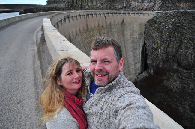
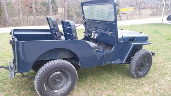
A self on the one-lane, crumbling, salmon dam located just west of Rogerson Service, Idaho.
We began the morning just north of Twin Falls (See day one of our trip here), We didn’t make if far before we realized that we, and by we I mean “I”, had forgotten to pack our Gazetteers (like this), those trusty, detailed maps, ones safely tucked away in my office. Sigh. But hey, who need maps when we have the internet … until that disappeared, too. Then we relied on hope!
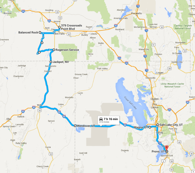
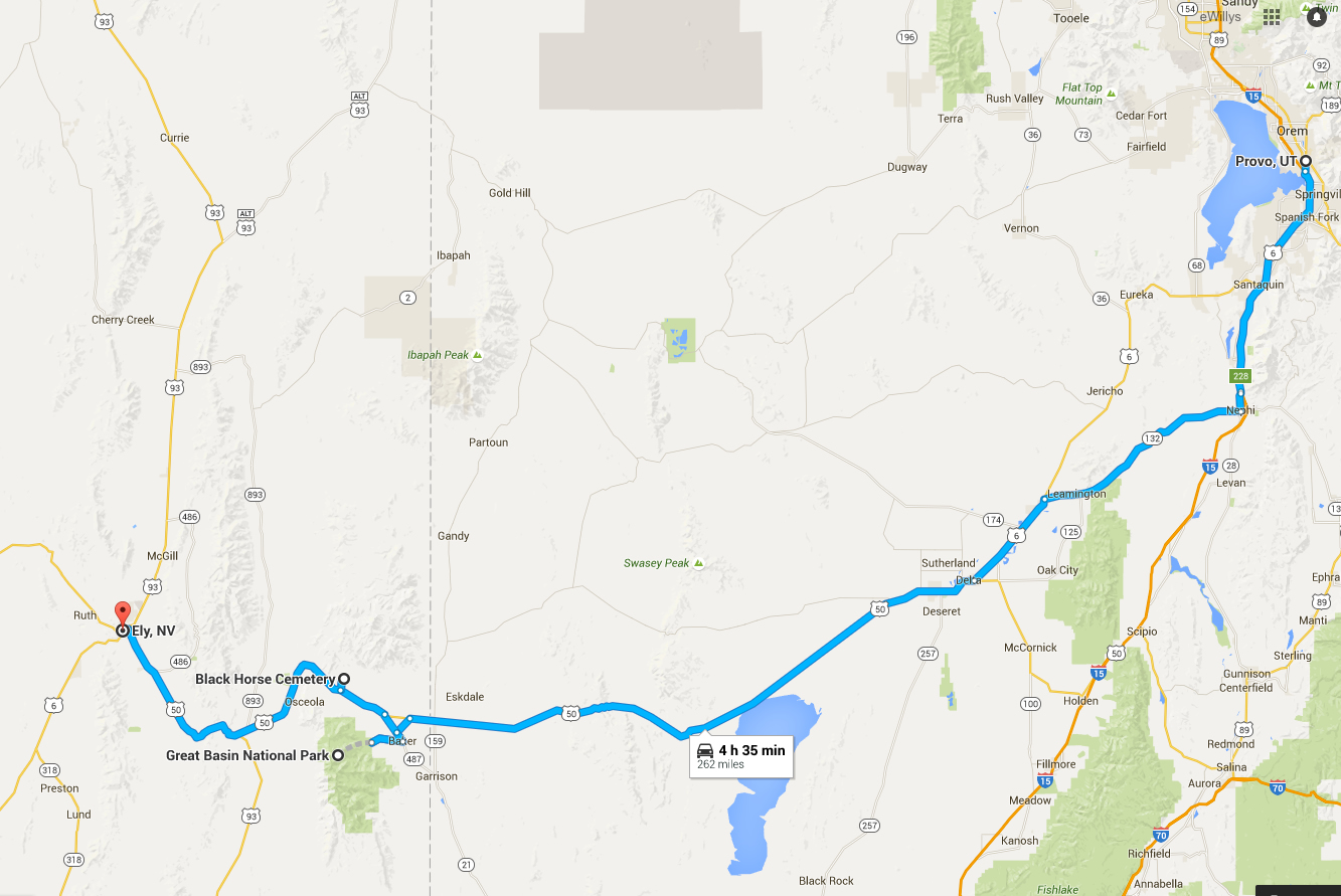
Day 2 took us from Twin Falls, Idaho, to Provo, Utah.
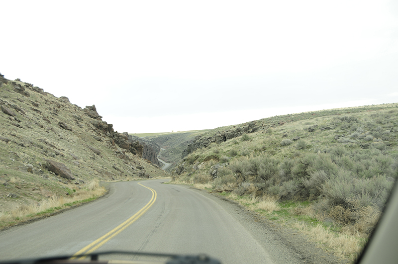
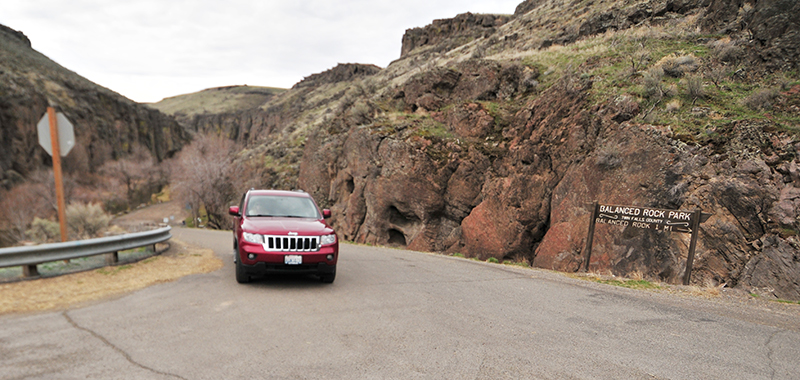
Our first destination on a cool Thursday morning was the county park near Buhl, Idaho, called Balanced Rock. We followed Highway 93 through Twin Falls, then veered south until reaching E 3700 N Road. We took a right and encountered the strangest center line. After much discussion, we concluded it was a disgruntled county employee who’d had enough of life: too many straight lines.
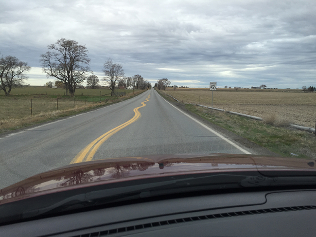
Why the strange centerline? We’d soon find out.
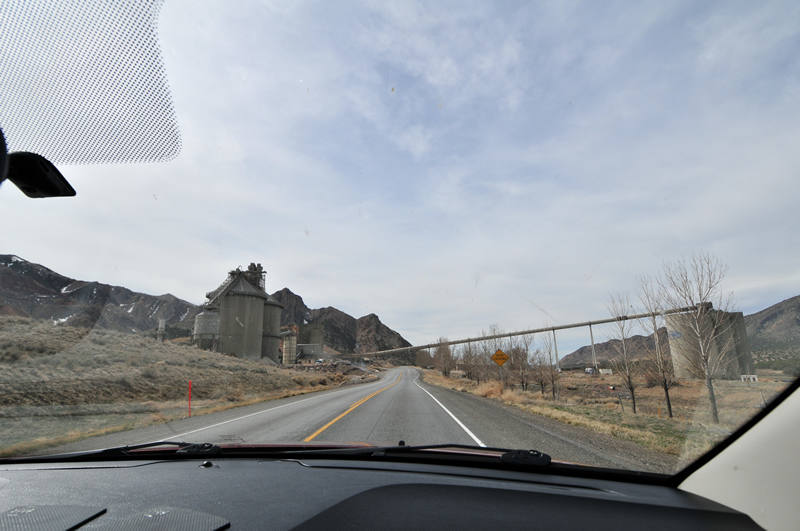
Satisfied at with our arbitrary conclusion, we followed E3700N for what seemed like hours, but was more like twenty minutes. Suddenly, the flat lands gave way to a gulch. To negotiate the gulch, the road began to wind back and forth. Aha! That explained the wavy line at the beginning of the road: it marked the road that led to the park!
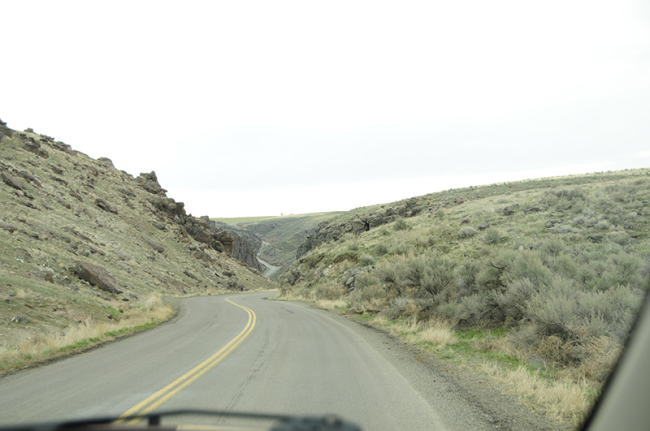
The road into Balanced Rock Canyon Park.
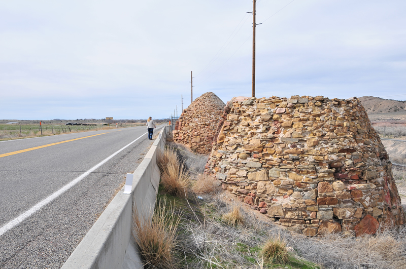
At the bottom of the gulch, a small sign guided visitors to the park.
 Continue reading →